Cogua
Cogua (Spanish pronunciation: [ˈkoɣwa]) is a municipality and town of Colombia in the department of Cundinamarca. It is situated on northern part of the Bogotá savanna with the urban centre at an altitude of 2,600 metres (8,500 ft) at 50 kilometres (31 mi) from the capital Bogotá. Cogua borders Tausa in the north, Nemocón in the east, Pacho in the west and Zipaquirá in the south.[1]
Cogua | |
|---|---|
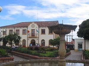 Central square of Cogua | |
.svg.png) Flag  Seal | |
| Nickname(s): current city of pure water | |
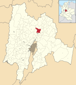 Location of the town and municipality of Cogua in the Cundinamarca Department. | |
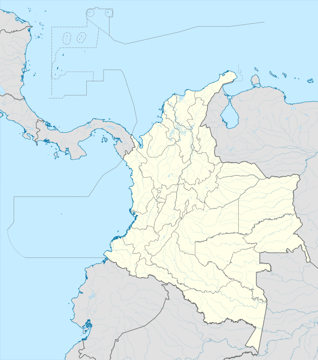 Cogua Location in Colombia | |
| Coordinates: 5°3′19″N 74°1′17″W | |
| Country | |
| Departamento | Cundinamarca |
| Province | Central Savanna Province |
| Founded | 23 August 1604 |
| Founded by | Lorenzo de Terrones |
| Government | |
| • Mayor | William Dario Forero Forero (2016-2019) |
| Area | |
| • City | 113 km2 (44 sq mi) |
| • Urban | 14 km2 (5 sq mi) |
| Elevation | 2,600 m (8,500 ft) |
| Population (2015) | |
| • City | 22,361 |
| • Density | 200/km2 (510/sq mi) |
| • Urban | 7,736 |
| Demonym(s) | Coguan |
| Time zone | UTC-5 |
| Area code(s) | 1 |
| Website | Official website |
| Censo DANE 2005 | |
History
Cogua in the times before the Spanish conquest was inhabited by the Muisca who lived on the Altiplano Cundiboyacense and had established an advanced civilization. Cogua is located between two important sources of salt in the Muisca economy; Zipaquirá and Nemocón.
Modern Cogua was founded on August 23, 1604 by Lorenzo de Terrones.[1]
Economy
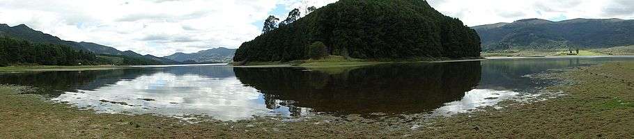
Main economical activities of Cogua are agriculture and livestock farming.[1] The Neusa Reservoir is located within the boundaries of Cogua.
Gallery
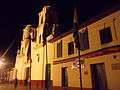 Church of Cogua
References
- (in Spanish) Official website Cogua Archived 2015-05-20 at Archive.today
External links
| Wikimedia Commons has media related to Cogua. |
- (in Spanish) FOTW: Flag and Seal of Cogua