Sibaté
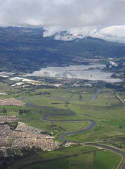
Sibaté is a municipality and town of Colombia in the Soacha Province, part of the department of Cundinamarca. Sibaté is located on the Bogotá savanna with the urban centre at an altitude of 2,700 metres (8,900 ft) and a distance of 27 kilometres (17 mi) from the capital Bogotá. It forms part of the metropolitan area of the capital. Sibaté borders Soacha in the north, Pasca and Fusagasugá in the south, Soacha in the east and Silvania and Granada in the west.[1]
Sibaté | |
|---|---|
Municipality and town | |
 | |
.svg.png) Flag  Seal | |
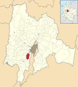 Location of the municipality and town of Sibaté in the Cundinamarca Department of Colombia | |
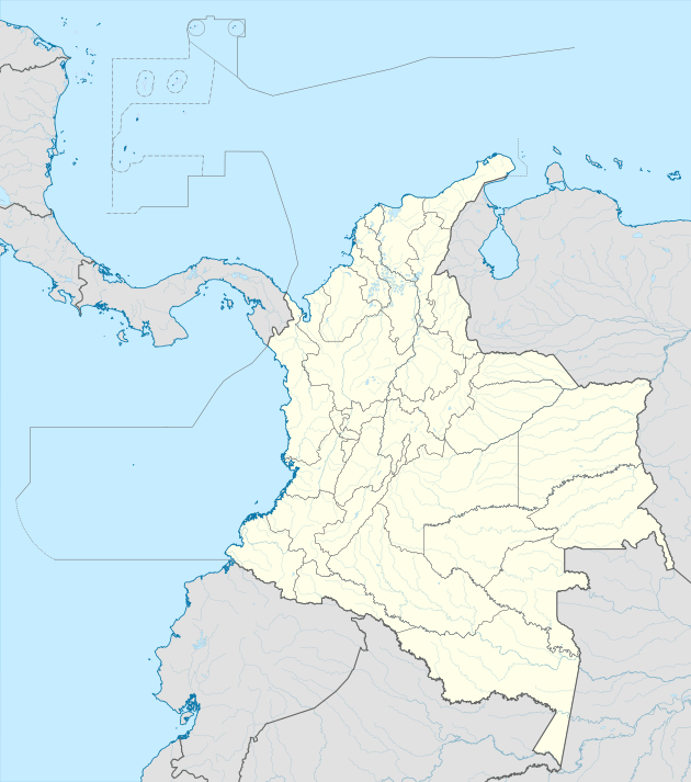 Sibaté Location in Colombia | |
| Coordinates: 4°29′27″N 74°15′34″W | |
| Country | |
| Department | |
| Province | Soacha Province |
| Founded | 24 November 1967 |
| Government | |
| • Mayor | Luis Roberto Gonzalez Peñaloza (2016-2019) |
| Area | |
| • Municipality and town | 125.6 km2 (48.5 sq mi) |
| • Urban | 16.9 km2 (6.5 sq mi) |
| Elevation | 2,700 m (8,900 ft) |
| Population (2015) | |
| • Municipality and town | 38,412 |
| • Density | 310/km2 (790/sq mi) |
| • Urban | 25,903 |
| Time zone | UTC-5 (Colombia Standard Time) |
| Website | Official website |
Etymology
Sibaté means in Chibcha "Leak of the lake", according to scholar Miguel Triana.[1]
History
In the times before the Spanish conquest, the area of Sibaté was inhabited by the Muisca. The Bogotá savanna was ruled by the zipa based in Bacatá.
Modern Sibaté was founded on November 24, 1967.[1]
Economy
Main economical activities of Sibaté are agriculture (potatoes, peas and strawberries) and livestock farming.[1]
References
- (in Spanish) Official website Sibaté Archived 2015-05-20 at Archive.today