K.Pudur Village
K.Pudur village a small village in the district of Perambalur, It is a greenish village in the district of Perambalur There, Tamil Nadu, India.
K.Pudur village K.Pudur | |
|---|---|
Village | |
 K.Pudur village Location in K.Pudur village, Perambalur, Tamil Nadu, India | |
| Coordinates: 11°18′43.13″N 78°57′58.32″E | |
| Country | |
| State | Tamil Nadu |
| District | Perambalur |
| Area | |
| • Total | 3 km2 (1 sq mi) |
| Population (2011) | |
| • Total | 1,300 |
| • Density | 430/km2 (1,100/sq mi) |
| Languages | |
| • Official | Tamil |
| Time zone | UTC+5:30 (IST) |
| PIN | 621115 |
| Telephone code | 04328 |
| Vehicle registration | TN-46 |
| Website | K.Pudur Village's Official Website |
| K.Pudur Village's Official | |
Geography
K.Pudur Village is located at 11.311980°N 78.966200°E, elevation 108 ft. The geographical location of K.Pudur Village.
Temples and Festivals
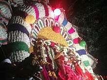
K.Pudur Village Mariamman Temple festival celebrations
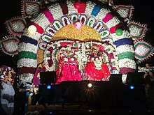
K.Pudur Village Mariamman Temple festival celebrations
K.Pudur Village has some temples and places, In this temple the festival is a very most famous festival around this area, similar to the.
- Mariamman temple
- Vinayagar temple
- Murugan temple
- Sivan temple
- Perumal temple
- Selliamman temple
- Ayyanar temple
- Karuppusamy temple
Agriculture and Major Crops
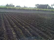
Rice and Sugarcane are grown as a major commercial crop. The predominate soil in the district is red sanding with scattered packers of black soil. This village consists mainly of glade soil. The soil in the district is best suited for raising dry crops. Cotton also grown in many places.
- Rice (vast tracts)
- Sugarcane(vast tracts)
- Tapioca(vast tracts)
- Corn
- Cotton (vast tracts)
- Groundnut/peanut
- Banana/plantain
- Coconut
- Black Gram
- Millet
Gallery of K.Pudur Village
 K.Pudur Village Agroforestry
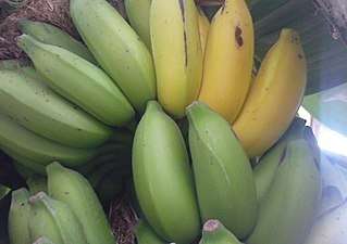 K.Pudur Village Banana tree showing fruits
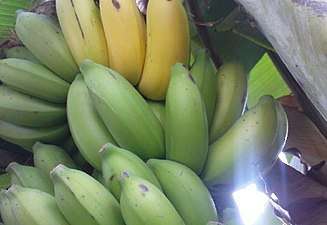 K.Pudur Village Banana tree showing fruits
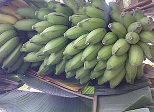 K.Pudur Village Banana tree showing fruits
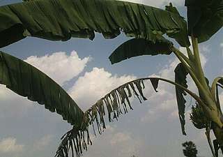 K.Pudur Village Banana tree plantation leaves
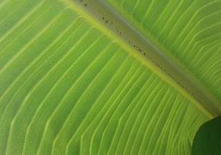 K.Pudur Village Banana Leaf
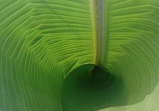 K.Pudur Village Banana Leaf
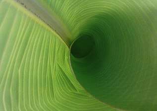 K.Pudur Village Banana Leaf
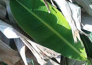 K.Pudur Village Banana Leaf
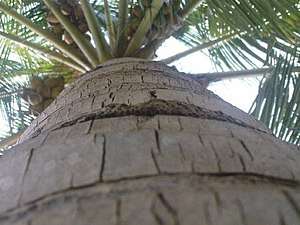 K.Pudur Village Coconut tree
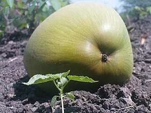 K.Pudur Village Coconut
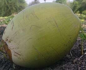 K.Pudur Village Coconut
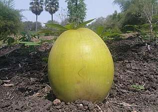 K.Pudur Village Coconut
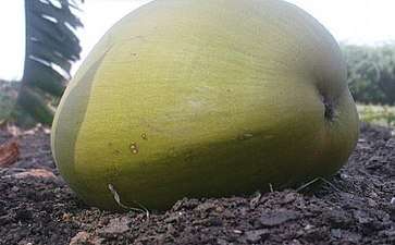 K.Pudur Village Coconut
 K.Pudur Village Coconut
 K.Pudur Village Coconut
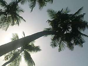 K.Pudur Village Coconut trees
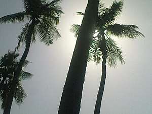 K.Pudur Village Coconut trees
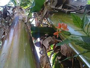 K.Pudur Village Firecracker Flower and banana trees
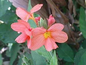 K.Pudur Village Firecracker Flower
 K.Pudur Village Firecracker Flower
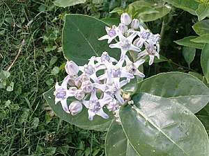 K.Pudur Village Crown flower plants
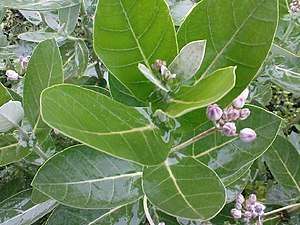 K.Pudur Village Crown flower plants
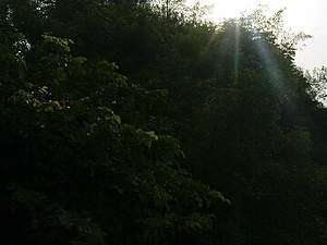 K.Pudur Village Green trees
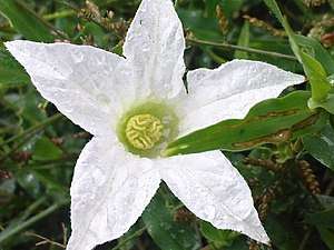 K.Pudur Village Five Star Flower
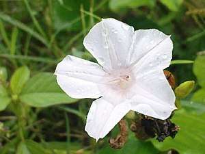 K.Pudur Village Five Star White Flower
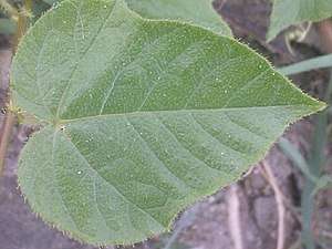 K.Pudur Village Green plants
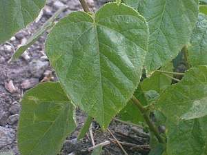 K.Pudur Village Green plants
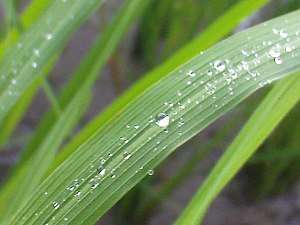
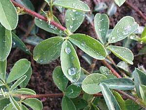 K.Pudur Village Green plants dew point
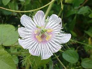 K.Pudur Village White Flower
 K.Pudur Village Pink thorn flower
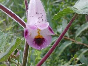 K.Pudur Village Pink Flower
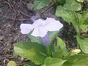 K.Pudur Village slateblue Flower
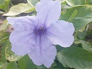 K.Pudur Village slateblue Flower
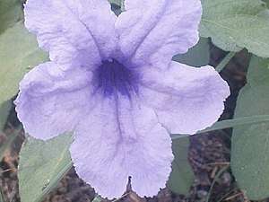 K.Pudur Village slateblue Flower
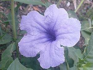 K.Pudur Village slateblue Flower
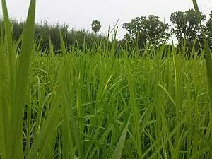 K.Pudur Village Paddy Crop
- K.Pudur Village Paddy Crop
 K.Pudur Village Meadows
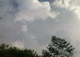 K.Pudur Village Clouds at Noon time
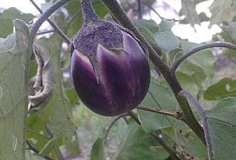 K.Pudur Village brinjal plants
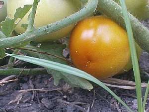 K.Pudur Village Tomato Plant
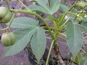 K.Pudur Village Jatropha curcas
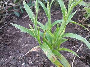
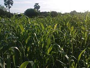 K.Pudur Village Corn plants
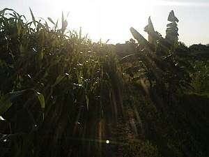 K.Pudur Village Corn plants
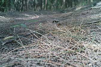 K.Pudur Village Casuarina Grove
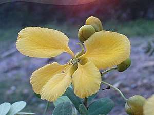 K.Pudur Village Avaram Senna
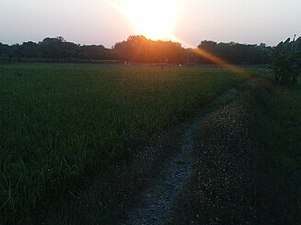 K.Pudur Village Sunset Time
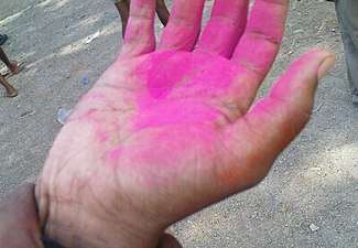 K.Pudur Village Celebrating the festival of color
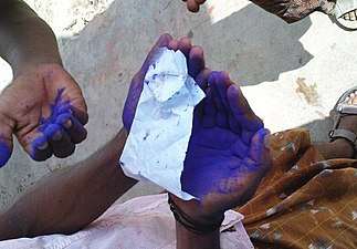 K.Pudur Village Celebrating the festival of color
 K.Pudur Village Tamil hand
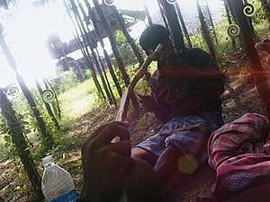 K.Pudur Village New Look
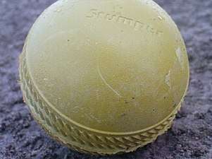 K.Pudur Village Yellow Cricket ball
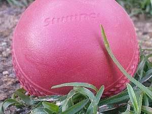 K.Pudur Village Rose Cricket ball
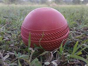 K.Pudur Village Rose Cricket ball
References
External links
| Wikivoyage has a travel guide for K.Pudur Village. |
Places adjacent to K.Pudur Village | ||||||||||
|---|---|---|---|---|---|---|---|---|---|---|
| ||||||||||
| District Headquarters | 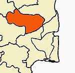 | |
|---|---|---|
| Country | ||
| State | ||
| Region | ||
| Taluks | ||
| Blocks |
| |
| Municipalities | ||
| History |
| |
| Places of interest |
| |
| ||
| State symbols |
| |
|---|---|---|
| Governance |
| |
| Topics | ||
| Major cities | ||
| Districts |
| |
| Lists | ||
This article is issued from Wikipedia. The text is licensed under Creative Commons - Attribution - Sharealike. Additional terms may apply for the media files.