Edgars, New Jersey
Edgars or Edgar is an unincorporated community located within Woodbridge Township in Middlesex County, New Jersey, United States.[2][3] It approximately includes the area around Woodbridge High School over to Rahway Avenue, south of the Port Reading Railroad. The upper section of Ridgedale Avenue is known as Edgar's Hill. There was a Pennsylvania Railroad stop called Edgars approximately where Prospect Avenue would cross the railway, steps for this are still visible on the western side as of 2016.
Edgars, New Jersey | |
|---|---|
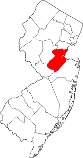
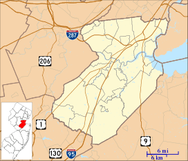 Edgars, New Jersey Location of Edgars in Middlesex County Inset: Location of county within the state of New Jersey 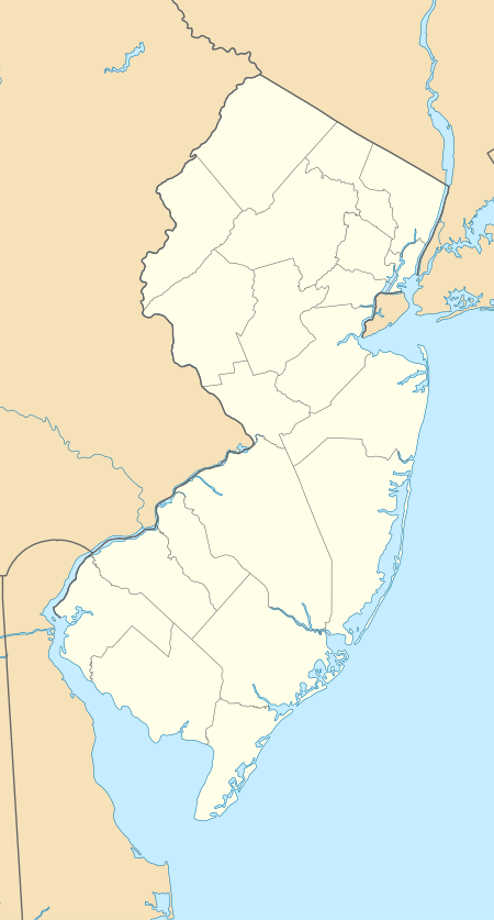 Edgars, New Jersey Edgars, New Jersey (New Jersey)  Edgars, New Jersey Edgars, New Jersey (the United States) | |
| Coordinates: 40°34′03″N 74°16′33″W | |
| Country | |
| State | |
| County | Middlesex |
| Township | Woodbridge |
| Elevation | 46 ft (14 m) |
| GNIS feature ID | 876092[1] |
See also
References
- "Edgars". Geographic Names Information System. United States Geological Survey.
- Gannett, Henry (January 28, 1895). "A Geographic Dictionary of New Jersey". U.S. Government Printing Office – via Google Books.
- Locality Search, State of New Jersey. Accessed February 8, 2015.
This article is issued from Wikipedia. The text is licensed under Creative Commons - Attribution - Sharealike. Additional terms may apply for the media files.