East Spotswood, New Jersey
East Spotswood, also known as the settlement of Old Bridge,[2] is an unincorporated community located within East Brunswick, New Jersey and Old Bridge townships in Middlesex County, New Jersey, United States.[3] The area is made up of homes, businesses, and wetlands for the South River. The area is located at the junction of New Jersey Route 18, County Route 527 (which is routed along Old Bridge-Englishtown Road, Old Matawan Road, and Old Bridge Turnpike), the western end of CR 516, and the Bordentown and South Amboy Turnpike (CR 615). The still-active Jamesburg Branch of the former Camden & Amboy Railroad also runs through the community.[3]
East Spotswood, New Jersey | |
|---|---|
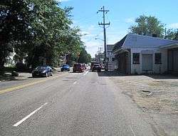 Main Street approaching Old Bridge Turnpike / Old Matawan Road | |
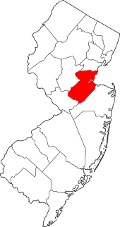
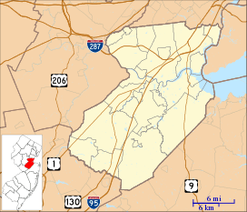 East Spotswood, New Jersey Location of East Spotswood in Middlesex County Inset: Location of county within the state of New Jersey 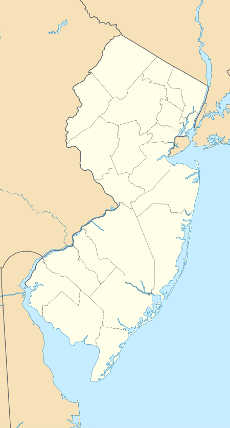 East Spotswood, New Jersey East Spotswood, New Jersey (New Jersey)  East Spotswood, New Jersey East Spotswood, New Jersey (the United States) | |
| Coordinates: 40°24′41″N 74°21′52″W | |
| Country | |
| State | |
| County | Middlesex |
| Township | East Brunswick, Old Bridge |
| Elevation | 13 ft (4 m) |
| GNIS feature ID | 876069[1] |
See also
References
- "East Spotswood". Geographic Names Information System. United States Geological Survey.
- South Amboy NJ-NY (Map). 1:24000. United States Geological Survey. 1995. Retrieved August 15, 2015.
- Google (February 8, 2015). "East Spotswood, New Jersey" (Map). Google Maps. Google. Retrieved February 8, 2015.
This article is issued from Wikipedia. The text is licensed under Creative Commons - Attribution - Sharealike. Additional terms may apply for the media files.