De Luz Heights, California
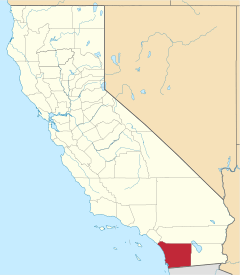
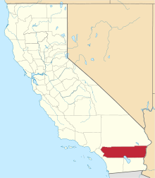
De Luz Heights is an unincorporated community that is in northwestern San Diego County, California, United States.
De Luz Heights, California | |
|---|---|
 De Luz Heights, California | |
| Coordinates: 33°25′52″N 117°16′36″W | |
| Country | |
| State | |
| County | |
| Elevation | 396 m (1,299 ft) |
| Time zone | UTC-8 (Pacific (PST)) |
| • Summer (DST) | UTC-7 (PDT) |
| Area codes | 442/760 |
| GNIS feature ID | 1868370[1] |
Geography
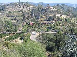
View north of De Luz Heights and Ross Lake.

View north of De Luz Heights Road, to its terminus at Big Rock Ranch.
De Luz Heights is on the Santa Rosa Plateau of the Santa Ana Mountains. It is between De Luz Road to the west and Sandia Creek Drive to the east. It is northwest of Fallbrook, southwest of Temecula, and immediately east of Marine Corps Base Camp Pendleton.
De Luz Heights is an agricultural community with narrow country lanes lined by avocado groves, commercial flower nurseries, citrus ranches, and vineyards.
References
- "US Board on Geographic Names". United States Geological Survey. October 25, 2007. Retrieved January 31, 2008.
External links
This article is issued from Wikipedia. The text is licensed under Creative Commons - Attribution - Sharealike. Additional terms may apply for the media files.