College Street, Sydney
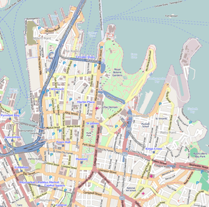
College Street is a 700-metre (2,300 ft) major street in the central business district of Sydney in New South Wales, Australia. From north to south, it runs from east of Queens Square and St James station to start at the junction of the Prince Albert, St Marys, and Art Gallery roads and runs to Whitlam Square, at Liverpool Street. The street gets its name from a college on the street, St. Mary’s Cathedral College. The street runs beside the eastern border of Hyde Park, and is lined by the Australian Museum, Sydney Grammar School, Cook and Phillip Park Aquatic and Fitness Centre, St Mary's Cathedral, and Australian International College.
College Street | |
|---|---|
.jpg) | |
An aerial photo of the Australian Museum with College Street running from mid-right to bottom left | |
| Sydney central business district | |
 North end South end | |
| Coordinates |
|
| General information | |
| Type | Street |
| Length | 700 m (0.4 mi) |
| Major junctions | |
| North end | Junction of the Prince Albert, St Marys, and Art Gallery roads |
| Park Street / William Street | |
| South end | Whitlam Square, Liverpool Street |
| Location(s) | |
| LGA(s) | City of Sydney |
| Highway system | |
An electric tramway formerly ran down College St. It was closed in 1960.[1]
See also
![]()
References
- Keenan, D. Tramways of Sydney. Transit Press 1979
| Wikimedia Commons has media related to College Street, Sydney. |
This article is issued from Wikipedia. The text is licensed under Creative Commons - Attribution - Sharealike. Additional terms may apply for the media files.