Totness Airstrip
| Totness Airstrip | |||||||||||
|---|---|---|---|---|---|---|---|---|---|---|---|
| Summary | |||||||||||
| Airport type | Public | ||||||||||
| Operator | Luchtvaartdienst Suriname | ||||||||||
| Location | Totness, Suriname | ||||||||||
| Elevation AMSL | 10 ft / 3 m | ||||||||||
| Coordinates | 5°52′00″N 56°19′40″W / 5.86667°N 56.32778°WCoordinates: 5°52′00″N 56°19′40″W / 5.86667°N 56.32778°W | ||||||||||
| Map | |||||||||||
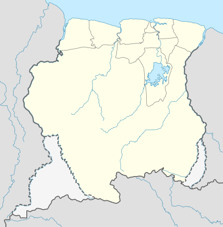 SMCO Location in Suriname | |||||||||||
| Runways | |||||||||||
| |||||||||||
Totness Airstrip (IATA: TOT, ICAO: SMCO) is an airport serving Totness, a town in and capital of the Coronie District in Suriname. This is one of the oldest airport in Suriname, in use since September 1953, when the Piper Cub (PZ-NAC) of Kappel-van Eyck named "Colibri" landed there from Zorg en Hoop Airport.
The marked runway is 500 metres (1,600 ft). Including overruns extends it to 700 metres (2,300 ft).
Charters and destinations
Airline and charter services for this airport are:
| Airlines | Destinations |
|---|---|
| Aero Club Suriname | Paramaribo, Zorg en Hoop Airport |
| Blue Wing Airlines | Paramaribo, Zorg en Hoop Airport[3] |
| Caricom Airways | Paramaribo, Zorg en Hoop Airport |
| Coronie Aero Farmers | Coronie, Totness Airport |
| ERK Farms | Nickerie, Major Henry Fernandes Airport |
| Gum Air | Paramaribo, Zorg en Hoop Airport[4] |
| Hi-Jet Helicopter Services | Paramaribo, Zorg en Hoop Airport |
| Kuyake Aviation | Paramaribo, Zorg en Hoop Airport |
| Suriname Air Force/Surinaamse Luchtmacht | Paramaribo, Zorg en Hoop Airport |
| Overeem Air Service | Nickerie, Wageningen Airport |
| Surinam Sky Farmers | Nickerie, Wageningen Airport |
See also

- List of airports in Suriname
- Transport in Suriname
References
- ↑ Airport information for TOT at Great Circle Mapper.
- ↑ Google Maps - Totness
- ↑ Blue Wing schedule Archived 2013-05-22 at the Wayback Machine.
- ↑ Gum Air destinations
External links
This article is issued from
Wikipedia.
The text is licensed under Creative Commons - Attribution - Sharealike.
Additional terms may apply for the media files.