Bakhuys Airstrip
| Bakhuys Airstrip | |||||||||||
|---|---|---|---|---|---|---|---|---|---|---|---|
| Summary | |||||||||||
| Airport type | Public | ||||||||||
| Operator | Luchtvaartdienst Suriname | ||||||||||
| Location | Bakhuys Gebergte, Suriname | ||||||||||
| Elevation AMSL | 307 ft / 94 m | ||||||||||
| Coordinates | 04°46′45″N 56°46′05″W / 4.77917°N 56.76806°WCoordinates: 04°46′45″N 56°46′05″W / 4.77917°N 56.76806°W | ||||||||||
| Map | |||||||||||
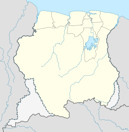 SMBG Location in Suriname | |||||||||||
| Runways | |||||||||||
| |||||||||||
Bakhuys Airstrip (ICAO: SMBG) is an airstrip near the Bakhuys Mountains (Bakhuys Gebergte) in Suriname. There is rising terrain to the south.
Charters and destinations
Charter Airlines serving this airport are:
| Airlines | Destinations |
|---|---|
| Blue Wing Airlines | Paramaribo, Zorg en Hoop Airport[3] |
| Caricom Airways | Paramaribo, Zorg en Hoop Airport[4] |
| Gum Air | Paramaribo, Zorg en Hoop Airport[5] |
| Hi-Jet Helicopter Services | Paramaribo, Zorg en Hoop Airport |
| Suriname Air Force/ Surinaamse Luchtmacht | Paramaribo, Zorg en Hoop Airport |
See also

- List of airports in Suriname
- Transport in Suriname
References
- ↑ Bing Maps - Bakhuys Airstrip
- ↑ OpenStreetMap - Bakhuis Airstrip
- ↑ Blue Wing schedule Archived 2013-05-22 at the Wayback Machine.
- ↑ Caricom destinations Archived March 15, 2013, at the Wayback Machine.
- ↑ Gum Air destinations
This article is issued from
Wikipedia.
The text is licensed under Creative Commons - Attribution - Sharealike.
Additional terms may apply for the media files.