Godo Holo Airstrip
| Godo Holo Airstrip | |||||||||||
|---|---|---|---|---|---|---|---|---|---|---|---|
| Summary | |||||||||||
| Airport type | Public | ||||||||||
| Operator | Luchtvaartdienst Suriname | ||||||||||
| Serves | Pikienkondre of Miranda | ||||||||||
| Elevation AMSL | 280 ft / 85 m | ||||||||||
| Coordinates | 4°03′27″N 54°47′10″W / 4.05750°N 54.78611°WCoordinates: 4°03′27″N 54°47′10″W / 4.05750°N 54.78611°W | ||||||||||
| Map | |||||||||||
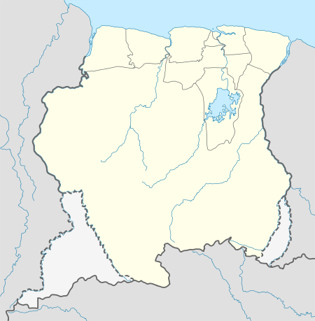 SMGH Location in Suriname | |||||||||||
| Runways | |||||||||||
| |||||||||||
Godo Holo Airstrip (ICAO: SMGH) is an airstrip serving Pikienkondre of Miranda in Suriname.
Scheduled Flights
| Airlines | Destinations |
|---|---|
| Blue Wing Airlines | Paramaribo, Zorg en Hoop Airport[3] |
| Caricom Airways | Paramaribo, Zorg en Hoop Airport[4] |
Charter Flights
| Airlines | Destinations |
|---|---|
| Gum Air | Paramaribo, Zorg en Hoop Airport[5] |
| Hi-Jet Helicopter Services | Paramaribo-Zorg en Hoop Airport |
| Suriname Air Force/Surinaamse Luchtmacht | Paramaribo-Zorg en Hoop Airport |
Accidents and incidents
See also

- List of airports in Suriname
- Transport in Suriname
References
- ↑ Airport information for SMGH at Great Circle Mapper.
- ↑ Google Maps - Godo Holo
- ↑ Blue Wing schedule Archived May 22, 2013, at the Wayback Machine.
- ↑ Caricom Airways destinations Archived March 15, 2013, at the Wayback Machine.
- ↑ Gumair destinations
- ↑ http://aviation-safety.net/database/record.php?id=20100515-0
- ↑ http://landewers.net/PZ.TXT
External links
- OurAirports - Godo Holo
- OpenStreetMaps - Godo Holo
- Godo Holo Airstrip
- picture of PZ-TSV in better times
This article is issued from
Wikipedia.
The text is licensed under Creative Commons - Attribution - Sharealike.
Additional terms may apply for the media files.