Cayana Airstrip
| Cayana Airstrip Kajana Airstrip | |||||||||||
|---|---|---|---|---|---|---|---|---|---|---|---|
| Summary | |||||||||||
| Airport type | Public | ||||||||||
| Operator | Luchtvaartdienst Suriname | ||||||||||
| Location | Kajana, Suriname | ||||||||||
| Elevation AMSL | 360 ft / 110 m | ||||||||||
| Coordinates | 3°53′55″N 55°34′40″W / 3.89861°N 55.57778°WCoordinates: 3°53′55″N 55°34′40″W / 3.89861°N 55.57778°W | ||||||||||
| Map | |||||||||||
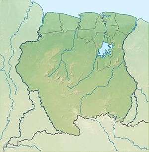 AAJ Location of airport in Suriname | |||||||||||
| Runways | |||||||||||
| |||||||||||
Cayana Airstrip (IATA: AAJ, ICAO: SMCA) is an airstrip serving the villages around Kajana in the Sipaliwini District of Suriname. The runway is just west of Kajana, across the Suriname River.
Airlines and destinations
Airlines serving this airport are:
| Airlines | Destinations |
|---|---|
| Blue Wing Airlines | Paramaribo, Zorg en Hoop Airport[3] |
| Caricom Airways | Paramaribo, Zorg en Hoop Airport[4] |
| Gum Air | Paramaribo, Zorg en Hoop Airport[5] |
| Hi-Jet Helicopter Services | Paramaribo, Zorg en Hoop Airport |
| Suriname Air Force/ Surinaamse Luchtmacht | Paramaribo, Zorg en Hoop Airport |
Accidents and incidents
- On June 18th, 1982 Cessna U206G (PZ-TAC) from Gonini Air Service was damaged at the Cayana airstrip. The pilot was Mr. Kuiper, who escaped serious injuries. [6]
See also
References
- ↑ Airport information for AAJ at Great Circle Mapper.
- ↑ Google Maps - Cayana Airstrip
- ↑ Blue Wing schedule Archived 2013-05-22 at the Wayback Machine.
- ↑ Caricom destinations Archived March 15, 2013, at the Wayback Machine.
- ↑ Gum Air destinations
- ↑ ASN 18 Jun 1982
External links
This article is issued from
Wikipedia.
The text is licensed under Creative Commons - Attribution - Sharealike.
Additional terms may apply for the media files.