Alupi Airstrip
| Alupi Airstrip | |||||||||||
|---|---|---|---|---|---|---|---|---|---|---|---|
| Summary | |||||||||||
| Airport type | Public | ||||||||||
| Operator | Luchtvaartdienst Suriname | ||||||||||
| Serves | Nieuw Nickerie, Suriname | ||||||||||
| Elevation AMSL | 7 ft / 2 m | ||||||||||
| Coordinates | 5°49′10″N 56°48′56″W / 5.81944°N 56.81556°WCoordinates: 5°49′10″N 56°48′56″W / 5.81944°N 56.81556°W | ||||||||||
| Map | |||||||||||
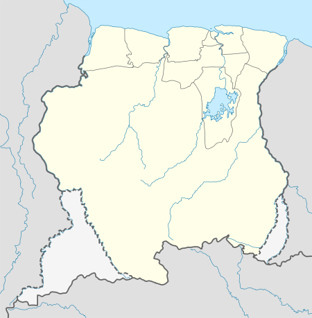 Alupi Location of the airstrip in Suriname | |||||||||||
| Runways | |||||||||||
| |||||||||||
Alupi Airstrip is a rural airstrip serving the rice growing region southeast of Nieuw Nickerie, in the Nickerie District of Suriname. The airstrip is next to the Nickerie River.
See also


- List of airports in Suriname
- Transport in Suriname
References
- ↑ Alupi Airstrip - OurAirports
- ↑ Bing Maps - Alupi Airstrip
External links
This article is issued from
Wikipedia.
The text is licensed under Creative Commons - Attribution - Sharealike.
Additional terms may apply for the media files.