Tataháza
| Tataháza | |
|---|---|
 Tataháza Tataháza | |
| Coordinates: 46°10′27″N 19°18′22″E / 46.1742°N 19.3061°E | |
| Country |
|
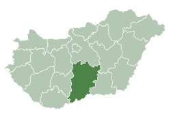
| County | Bács-Kiskun |
| Area | |
| • Total | 26.10 km2 (10.08 sq mi) |
| Population (2002) | |
| • Total | 1,532 |
| • Density | 59/km2 (150/sq mi) |
| Time zone | UTC+1 (CET) |
| • Summer (DST) | UTC+2 (CEST) |
| Postal code | 6424 |
| Area code(s) | 79 |
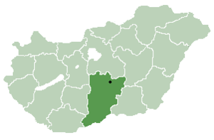
Location of Bács-Kiskun
county in Hungary
Tataháza (Croatian: Tataza) is a village in Bács-Kiskun county, in the Southern Great Plain region of southern Hungary.
Geography
It covers an area of 26.10 km2 (10 sq mi) and has a population of 1532 people (2002).
Demography
External links
- (in Hungarian) Tataháza hivatalos oldala
- (in Croatian) Hrvatski glasnik 33/2006. Ljetna plesna škola u Aljmašu

This article is issued from
Wikipedia.
The text is licensed under Creative Commons - Attribution - Sharealike.
Additional terms may apply for the media files.