Csátalja
| Csátalja Tschatali | |
|---|---|
 Csátalja Tschatali Location of Gara, Hungary | |
| Coordinates: 46°01′59″N 18°57′00″E / 46.033°N 18.950°E | |
| Country |
|
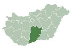
| County | Bács-Kiskun |
| Area | |
| • Total | 81.8 km2 (31.6 sq mi) |
| Population (2015) | |
| • Total | 1,437[1] |
| • Density | 36.8/km2 (95/sq mi) |
| Time zone | UTC+1 (CET) |
| • Summer (DST) | UTC+2 (CEST) |
| Postal code | 6523 |
| Area code(s) | 79 |
_-_bilingual_city_limit_sign.JPG)
Hungarian-German city limit sign
Csátalja (German: Tschatali, Croatian: Čatalija) is a village in Bács-Kiskun county, in the Southern Great Plain region of southern Hungary.
Geography
It covers an area of 81.8 km2 (32 sq mi) and has a population of 1437 people (2015).[1]
References
- 1 2 Gazetteer of Hungary, 1st January 2015. Hungarian Central Statistical Office. 03/09/2015

This article is issued from
Wikipedia.
The text is licensed under Creative Commons - Attribution - Sharealike.
Additional terms may apply for the media files.