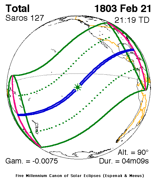
Solar eclipse of February 21, 1803
| Solar eclipse of February 21, 1803 | |
|---|---|
 Map | |
| Type of eclipse | |
| Nature | Total |
| Gamma | -0.0075 |
| Magnitude | 1.0492 |
| Maximum eclipse | |
| Duration | 249 sec (4 m 9 s) |
| Coordinates | 11°06′S 135°54′W / 11.1°S 135.9°W |
| Max. width of band | 163 km (101 mi) |
| Times (UTC) | |
| Greatest eclipse | 21:18:46 |
| References | |
| Saros | 127 (46 of 82) |
| Catalog # (SE5000) | 9047 |
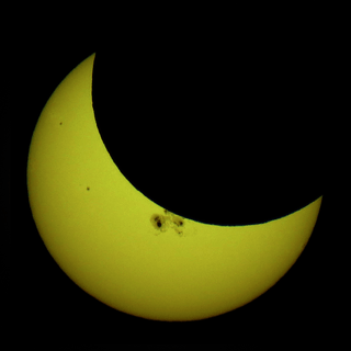
A total solar eclipse occurred on February 21, 1803. A solar eclipse occurs when the Moon passes between Earth and the Sun, thereby totally or partly obscuring the image of the Sun for a viewer on Earth. A total solar eclipse occurs when the Moon's apparent diameter is larger than the Sun's, blocking all direct sunlight, turning day into darkness. Totality occurs in a narrow path across Earth's surface, with the partial solar eclipse visible over a surrounding region thousands of kilometres wide. The eclipse was visible in Pacific Ocean and Central America, while the totality was seen in Mexico.[1]
See also
References
- ↑ "Solar eclipse of February 21, 1803". NASA. Retrieved June 15, 2012.
External links


This article is issued from
Wikipedia.
The text is licensed under Creative Commons - Attribution - Sharealike.
Additional terms may apply for the media files.