Santa Isabel (volcano)
| Santa Isabel | |
|---|---|
| Nevado de Santa Isabel | |
 Santa Isabel in 1985 | |
| Highest point | |
| Elevation | 4,950 m (16,240 ft) [1] |
| Listing | Volcanoes of Colombia |
| Coordinates | 04°49′N 75°22′W / 4.817°N 75.367°WCoordinates: 04°49′N 75°22′W / 4.817°N 75.367°W [1] |
| Geography | |
 Santa Isabel Location of Nevado de Santa Isabel in Colombia | |
| Location |
Tolima |
| Parent range | Central Ranges, Andes |
| Geology | |
| Mountain type | Shield volcano |
| Volcanic belt |
North Volcanic Zone Andean Volcanic Belt |
| Last eruption | 850 BCE[1] |
Santa Isabel (Spanish: Nevado de Santa Isabel) is a shield volcano located in Tolima, Colombia, southwest of Nevado del Ruiz volcano. The volcano is located over the Palestina Fault, that crosscuts the underlying El Bosque Batholith of Eocene age, dated at 49.1 ± 1.7 Ma.[2][3]

Basalt blocks of Santa Isabel volcano
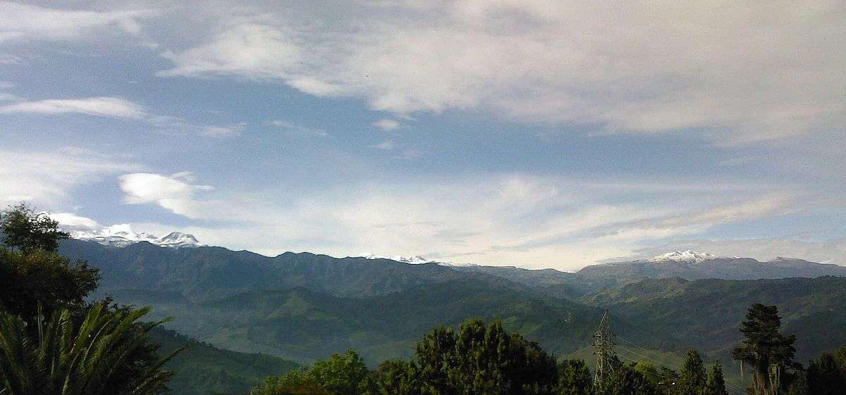
Panorama
See also
References
| Wikimedia Commons has media related to Nevado de Santa Isabel. |
- 1 2 3 "Santa Isabel". Global Volcanism Program. Smithsonian Institution. Retrieved 2007-01-19.
- ↑ Plancha 225, 1998
- ↑ González, 2001, p.50
Bibliography
- González, Humberto. 2001. Geología de las planchas 206 Manizales y 225 Nevado del Ruiz - 1:100,000 - Memoria explicativa, 1–93. INGEOMINAS. Accessed 2017-06-09.
- Mosquera, Darío; Pedro Martín; Carlos Vesga, and Humberto González. 1998. Plancha 225 - Nevado del Ruiz - 1:100,000, 1. INGEOMINAS. Accessed 2017-06-06.
| Western Ranges | | |
|---|---|---|
| Central Ranges |
| |
| Eastern Ranges |
| |
| Other | ||
| Source |
| |
This article is issued from
Wikipedia.
The text is licensed under Creative Commons - Attribution - Sharealike.
Additional terms may apply for the media files.