Royston, Queensland
| Royston Queensland | |||||||||||||||
|---|---|---|---|---|---|---|---|---|---|---|---|---|---|---|---|
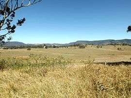 Paddocks, 2015 | |||||||||||||||
 Royston | |||||||||||||||
| Coordinates | 26°55′S 152°39′E / 26.917°S 152.650°ECoordinates: 26°55′S 152°39′E / 26.917°S 152.650°E | ||||||||||||||
| Population | 320 (2011 census)[1] | ||||||||||||||
| Postcode(s) | 4515 | ||||||||||||||
| LGA(s) | Somerset Region | ||||||||||||||
| State electorate(s) | Nanango | ||||||||||||||
| Federal Division(s) | Blair | ||||||||||||||
| |||||||||||||||
Royston is a locality in the Somerset Region, Queensland, Australia. The locality had a population of 320 at the 2011 Australian Census.[1]
The D'Aguilar Highway passes through the south of Royston where the Stanley River marks the southern boundary. In the north lies the southern foothills of the Conondale Range.
References
- 1 2 Australian Bureau of Statistics (31 October 2012). "Royston (State Suburb)". 2011 Census QuickStats. Retrieved 12 August 2015.

This article is issued from
Wikipedia.
The text is licensed under Creative Commons - Attribution - Sharealike.
Additional terms may apply for the media files.