Rochford, Victoria
| Rochford Victoria | |||||||||||||||
|---|---|---|---|---|---|---|---|---|---|---|---|---|---|---|---|
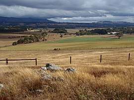 View over Rochford, looking west | |||||||||||||||
 Rochford | |||||||||||||||
| Coordinates | 37°19′S 144°41′E / 37.317°S 144.683°ECoordinates: 37°19′S 144°41′E / 37.317°S 144.683°E | ||||||||||||||
| Established | 1860 | ||||||||||||||
| Postcode(s) | 3442 | ||||||||||||||
| Elevation | 550 m (1,804 ft) | ||||||||||||||
| LGA(s) | Shire of Macedon Ranges | ||||||||||||||
| State electorate(s) | Macedon | ||||||||||||||
| Federal Division(s) | McEwen | ||||||||||||||
| |||||||||||||||
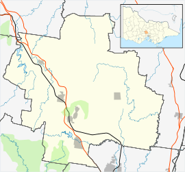
Rochford is a small settlement and locality in the Macedon Ranges Shire, in Victoria, Australia, on the Lancefield-Woodend Road (now signposted as the Rochford Road).
The district once contained a number of public and religious buildings, all of which now appear to have been removed or demolished. These included a Public Hall, Anglican Church, Presbyterian Church, and tennis courts.[1]
Rochford Post Office opened on 10 March 1863 and closed in 1965.[2]
The 1857 red brick building & former 1870 principals residence of the former Rochford North School (State School 540)[1] is still standing and is now a privately owned luxury holiday rental.[3]
References
- 1 2 Smith, Gavin (1994). All Wild and Lonely Bush. Romsey: Shire of Romsey Book Committee. ISBN 0-646-23834-5.
- ↑ Premier Postal History. "Post Office List". Retrieved 2008-04-11.
- ↑ http://www.rochfordlodge.com/about.html
This article is issued from
Wikipedia.
The text is licensed under Creative Commons - Attribution - Sharealike.
Additional terms may apply for the media files.