Ravenscrag, Saskatchewan
| Ravenscrag | |
|---|---|
| Unincorporated community | |
 Ravenscrag | |
| Coordinates: 49°30′00″N 109°16′03″W / 49.50°N 109.2675°W | |
| Country | Canada |
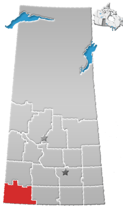
| Province | Saskatchewan |
| Region | Southwest |
| Census division | 4 |
| Rural Municipality | White Valley |
| Established (Post office) | 1912-08-01 (closed 1986-06-23) |
| Government | |
| • Governing body | Rural Municipality of White Valley |
| Time zone | CST |
| Postal code | S0N 2C0 |
| Area code(s) | 306 |
| Highways | Highway 614 |
| Railways | Canadian Pacific Railway |
| [1][2][3][4] | |
Ravenscrag is an unincorporated community within the Rural Municipality of White Valley No. 49, Saskatchewan, Canada. The community is located on Highway 614, along the Frenchman River, 60 kilometres (37 mi) east of the Alberta-Saskatchewan border and about 185 kilometres (115 mi) southwest of the city of Swift Current.
History
Ravenscrag was once a community of over 100 people. Since the Great Depression the town's population has dropped to one family.[5]
The settlement gave its name to the Ravencrag Formation, a stratigraphical unit of the Western Canadian Sedimentary Basin, defined in 1918 by N.B. Davis at Ravenscrag Butte. The formation lies north-east of the community.
See also
References
- ↑ National Archives, Archivia Net, Post Offices and Postmasters
- ↑ Government of Saskatchewan, MRD Home, Municipal Directory System, archived from the original on November 21, 2008
- ↑ Canadian Textiles Institute. (2005), CTI Determine your provincial constituency, archived from the original on 2007-09-11
- ↑ Commissioner of Canada Elections, Chief Electoral Officer of Canada (2005), Elections Canada On-line
- ↑ Our Roots History of Ravenscrag Retrieved on 2008-12-14
External links
Places adjacent to Ravenscrag, Saskatchewan | |
|---|---|
| Subdivisions | |
|---|---|
| Communities | |
| Cities | |
| Topics |
|
| |
This article is issued from
Wikipedia.
The text is licensed under Creative Commons - Attribution - Sharealike.
Additional terms may apply for the media files.