Rangeview, Saskatchewan
| Rangeview | |
|---|---|
| Unincorporated community | |
 Location of Rangeview in Saskatchewan | |
| Coordinates: 49°12′00″N 109°21′04″W / 49.2°N 109.351°W | |
| Country |
|
| Province |
|
| Region | Southwest Saskatchewan |
| Census division | 4 |
| Rural Municipality | Reno |
| Government | |
| • Governing body | Rural Municipality of Reno |
| Time zone | CST |
| Area code(s) | 306 |
| Railways | Former - Canadian Pacific Railway |
| [1][2][3][4] | |
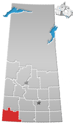
Rangeview is an unincorporated community within the Rural Municipality of Reno No. 51, Saskatchewan, Canada. The former town-site is located 5 km west of Highway 18, about 15 km south of the community of Robsart and Highway 13.
Population
Rangeview, like so many other communities throughout Saskatchewan, has struggled to maintain a sturdy population causing it to become a semi ghost town, with only a few or no residents.
Education
Rangeview no longer has a school, but those who live in Rangeview and area are sent to the neighboring village of Consul which has a school that covers Kindergarten to Grade 12 serving approximately 100 students.
See also
References
- ↑ National Archives, Archivia Net, Post Offices and Postmasters, archived from the original on 2006-10-06
- ↑ Government of Saskatchewan, MRD Home, Municipal Directory System, archived from the original (– Scholar search) on November 21, 2008
- ↑ Canadian Textiles Institute. (2005), CTI Determine your provincial constituency, archived from the original on 2007-09-11
- ↑ Commissioner of Canada Elections, Chief Electoral Officer of Canada (2005), Elections Canada On-line, archived from the original on 2007-04-21
External links
Places adjacent to Rangeview, Saskatchewan | ||||||||||
|---|---|---|---|---|---|---|---|---|---|---|
| ||||||||||
| Subdivisions | |
|---|---|
| Communities | |
| Cities | |
| Topics |
|
| |
Coordinates: 49°12′00″N 109°21′03″W / 49.20000°N 109.35083°W
This article is issued from
Wikipedia.
The text is licensed under Creative Commons - Attribution - Sharealike.
Additional terms may apply for the media files.