Bracken, Saskatchewan
| Bracken | |
|---|---|
| Village | |
| Village of Bracken | |
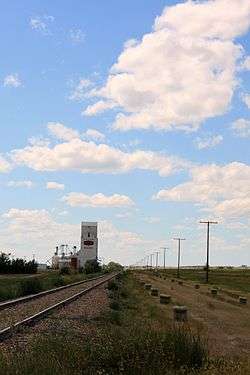 Looking down railway tracks towards the grain elevator in Bracken. | |
 Location of Bracken in Saskatchewan  Bracken, Saskatchewan (Canada) | |
| Coordinates: 49°10′41″N 108°05′46″W / 49.178°N 108.096°W | |
| Country |
|
| Province |
|
| Region | Southwest |
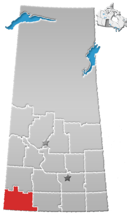
| Census division | 4 |
| Rural Municipality | Lone Tree |
| Government | |
| • Type | Municipal |
| • Governing body | Bracken Village Council |
| • Mayor | Susan Wiens |
| • Administrator | Monique Fehr |
| • MP | David L. Anderson |
| • MLA | Wayne Elhard |
| Area | |
| • Total | 0.60 km2 (0.23 sq mi) |
| Population (2016) | |
| • Total | 25 |
| • Density | 33.5/km2 (87/sq mi) |
| Time zone | UTC-6 (CST) |
| Postal code | S0N 0G0 |
| Area code(s) | 306 |
| Highways |
|
| Railway | Great Western Railway |
Bracken (2016 Population 20) is a village within the Rural Municipality of Lone Tree No. 18, in the province of Saskatchewan, Canada. The village is named after John Bracken, Premier of Manitoba and leader of the Progressive Conservative Party of Canada, who was a professor at the University of Saskatchewan. The village is located approximately 115 km south of the city of Swift Current on Highway 18, directly north of Grasslands National Park, and approximately 20 km north of the Montana-Saskatchewan border. The village had a population of 20 in the 2016 Canada Census, (a -33.3% decrease from 30 in the 2011 Canada Census).
Demographics
EducationStudents in Bracken are bused to Frontier, which has a school that covers Kindergarten through grade 12 in the Chinook School Division. Attractions
See alsoReferences
External links
Coordinates: 49°10′41″N 108°05′46″W / 49.178°N 108.096°W
| ||||||||||||||||||||||||||||||||||||||||||||||||||||