Rasina (river)
| Rasina | |
|---|---|
 Quay in Brus | |
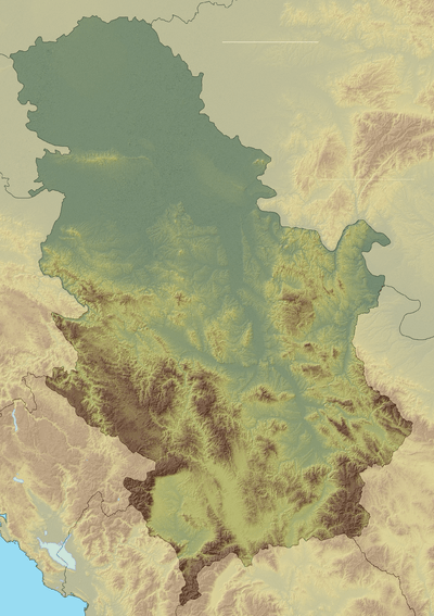 Location of the mouth in Serbia | |
| Country | Serbia |
| Physical characteristics | |
| Main source | Bzenice, Aleksandrovac |
| River mouth |
Bivolje, Kruševac 43°37′11″N 21°21′28″E / 43.61972°N 21.35778°ECoordinates: 43°37′11″N 21°21′28″E / 43.61972°N 21.35778°E |
| Length | 92 km (57 mi)[1] |
| Basin features | |
| Progression | West Morava→ Great Morava→ Danube→ Black Sea |
| Basin size | 990 km2 (380 sq mi)[2] |
The Rasina (Serbian: Расина) is a river in south central Serbia. The 92 km (57 mi) long river[1] flows through the Rasina region, gives its name to the modern Rasina District of Serbia, and flows into the Zapadna Morava near the city of Kruševac.
Its historical name is Arsen (Αρσεγα).
The Rasina springs from the southern slopes of the Goč mountain, near the village of Rašovka, southwest of the most famous Serbian spa, Vrnjačka Banja. The river originally flows to the southeast, around the mountains of Željin and Kopaonik, next to the villages of Mitrovo Polje, Bzenica, Pleš, Jablanica, Grčak, Toskići, Budilovina and Milentija. When the Rasina reaches the small town of Brus, it enters the upper Rasina region and continues next to the villages of Tršanovci, Lepenac and Razbojna.
At this point the river reaches the western side of the Veliki Jastrebac mountain, and makes a wide, elbow turn to the north. In this part of the course, the Rasina also makes a southeast border of the Aleksandrovačka Župa region. After the villages of Bogiše and Zlatari, the Rasina has been dammed at the village of Ćelije, with an artificial lake Ćelije.
The lower Rasina region is densely populated (villages of Suvaja, Majdevo, Štitare, Grkljane, Šogolj, Šavrane, Gornji Stepoš, Bukovica, Donji Stepoš, Lipovac, Malo Golovode, Donje Golovode), with the administrative center of the Rasina District, Kruševac. In its lower course, the Rasina is followed by a parallel flow of the Pepeljuša river, which flows into the Zapadna Morava separately. Seven kilometers after Kruševac, the Rasina flows into the Zapadna Morava at the village of Makrešane.
The Rasina drains an area of 990 km2 (380 sq mi),[2] belongs to the Black Sea drainage basin and it is not navigable.
Lake Ćelije
Reservoir was formed in 1980, when 52 m (171 ft) high dam was built. The lake was created as a part of the regulation program of the Velika Morava river, that is, as part of the project that to reduce the amount of sediments which would ultimately reach the Iron Gate I Hydroelectric Power Station and its Lake Đerdap. The usage of the lake water for the Kruševac waterworks wasn't part of the original project. In 1984, a water treatment plant was built in the village of Majdevo. The plant was reconstructed in 2012 and, due to the increased capacity, the waterworks in the municipalities of Ćićevac and Varvarin were connected to the grid.[3]
The lake was designed to serve for water supply until 2020 due to its servicable volume decrease, but the soil erosion in the watershed is lessen then the one that had been foreseen and the life span of the lake will be significantly longer.
References
- 1 2 Statistical Yearbook of the Republic of Serbia 2017 (PDF) (in Serbian and English). Belgrade: Statistical Office of the Republic of Serbia. October 2017. p. 16. ISSN 0354-4206. Retrieved 30 May 2018.
- 1 2 Velika Morava River Basin, ICPDR, November 2009, p. 2
- ↑ R. Stanković (23 November 2017), "Vodovod-Kruševac produžava vek jezeru Ćelije za tri decenije" [Kruševac waterworks company prolonged the life of the Lake Ćelije for three decades], Politika (in Serbian), p. 15
Sources
External links
| Wikimedia Commons has media related to Rasina river. |