Pyrénées – Mont Perdu World Heritage Site
| UNESCO World Heritage site | |
|---|---|
 | |
| Location | Pyrenees in France and Spain |
| Criteria | Cultural and Natural: (iii), (iv), (v), (vii), (viii) |
| Reference | 773bis |
| Inscription | 1997 (21st Session) |
| Extensions | 1999 |
| Area | 30,639 ha (75,710 acres) |
| Coordinates | 42°41′7.5″N 0°0′1.8″E / 42.685417°N 0.000500°ECoordinates: 42°41′7.5″N 0°0′1.8″E / 42.685417°N 0.000500°E |
 Location of Pyrénées – Mont Perdu World Heritage Site in Pyrenees 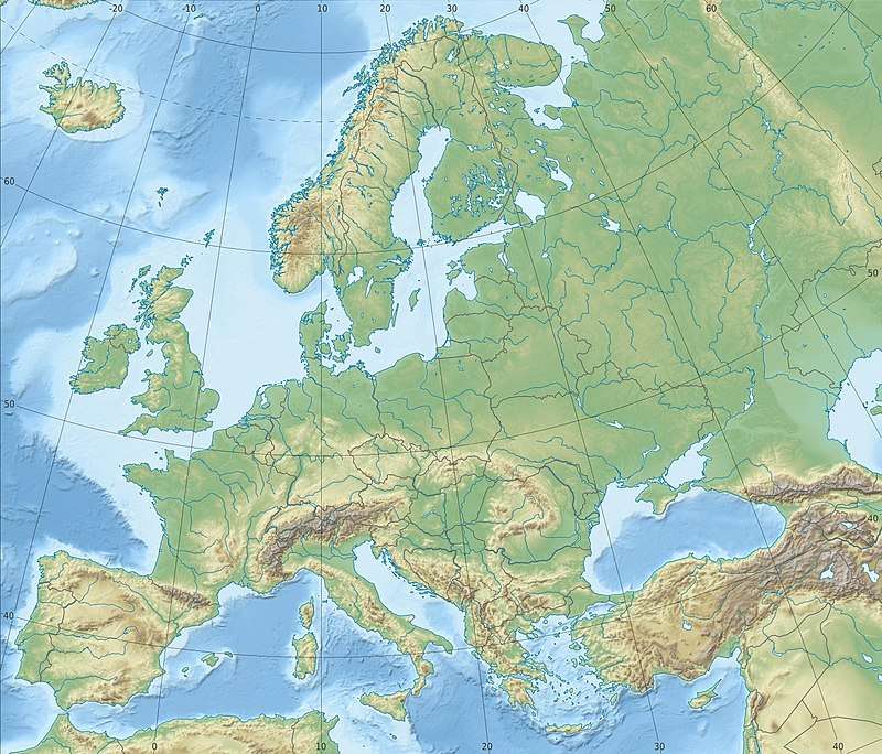 Pyrénées – Mont Perdu World Heritage Site (Europe) | |
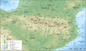
The Pyrénées – Mont Perdu World Heritage Site (also known as UNESCO Patrimonio Mundial Pirineos – Monte Perdido in Spanish[1]) is a world heritage site straddling the border between Spain and France in the Pyrenees mountain chain. The summit of Monte Perdido (French: Mont Perdu) is on the Spanish side of the border. The site was designated in 1997 and extended north in 1999 to include the Commune of Gèdre in France.
The site includes two bordering national parks: the entire Ordesa y Monte Perdido National Park in Spain and the eastern part of Pyrénées Occidentales National Park in France.[2] The World Heritage Site comprises a total area of 30,639 hectares.[1]
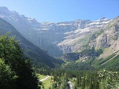
The Cirque de Gavarnie in the French section of the World Heritage Site
References
- 1 2 "UNESCO Patrimonio Mundial Pirineos – Monte Perdido " mcu.es, retrieved 2013-08-20 (in Spanish)
- ↑ "Protected Areas and World Heritage". United Nations Environment Program - World Conservation Monitoring Centre. January 2000. Archived from the original on 2008-07-18. Retrieved 2008-08-12.
External links
- UNESCO Pyrénées - Mont Perdu unesco.org, retrieved 2013-08-20 (in French)
- "UNESCO Patrimonio Mundial Pirineos – Monte Perdido " mcu.es, retrieved 2013-08-20 (in Spanish)
- MPPM - Monte Perdido Patrimonio Mundial mppm.org, retrieved 2013-08-20 (in Spanish)
This article is issued from
Wikipedia.
The text is licensed under Creative Commons - Attribution - Sharealike.
Additional terms may apply for the media files.