Pré-Saint-Didier
| Pré-Saint-Didier Pré-Sèn-Lédjé | |
|---|---|
| Comune | |
|
Comune di Pré-Saint-Didier Commune de Pré-Saint-Didier | |
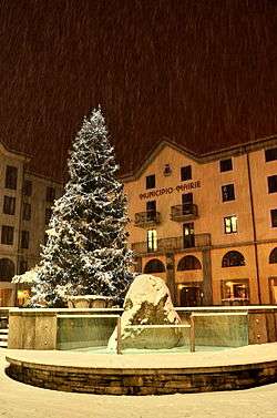 The Pré-Saint-Didier town hall | |
 Pré-Saint-Didier Location of Pré-Saint-Didier in Italy | |
| Coordinates: 45°46′N 6°59′E / 45.767°N 6.983°ECoordinates: 45°46′N 6°59′E / 45.767°N 6.983°E | |
| Country | Italy |
| Region | Aosta Valley |
| Province | none |
| Frazioni | Verrand, Palleusieux, Revers, La Balme, Élévaz, Champex, Torrent |
| Area | |
| • Total | 34 km2 (13 sq mi) |
| Elevation | 1,004 m (3,294 ft) |
| Population (31 December 2006) | |
| • Total | 959 |
| • Density | 28/km2 (73/sq mi) |
| Demonym(s) | Saint-didierins |
| Time zone | UTC+1 (CET) |
| • Summer (DST) | UTC+2 (CEST) |
| Postal code | 11010 |
| Dialing code | 0165 |
| Patron saint | Saint Lawrence |
| Saint day | 10 August |
| Website | Official website |
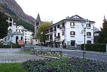
view of the town with the Parish church
Pré-Saint-Didier (Valdôtain: Pré-Sèn-Lédjé) is a town and comune in the Aosta Valley region of north-western Italy, at 1,004 metres (3,294 ft) above sea level.
Transportation
The terminus of the regional railway is located there, although with no services since 2015. Before closure there were direct trains connect the town from Aosta, which is connected to the rest of the Italian network. Regular bus connection to places located further up the mountains (La Thuile, Courmayeur) is available.
External links
- (in English) (in French) (in Italian) Pré-Saint-Didier thermal baths - Official website

This article is issued from
Wikipedia.
The text is licensed under Creative Commons - Attribution - Sharealike.
Additional terms may apply for the media files.