El Portillo Airport
| El Portillo Airport | |||||||||||
|---|---|---|---|---|---|---|---|---|---|---|---|
| Summary | |||||||||||
| Airport type | Public | ||||||||||
| Serves | Samaná, Dominican Republic | ||||||||||
| Location | Las Terrenas | ||||||||||
| Elevation AMSL | 17 ft / 5 m | ||||||||||
| Coordinates | 19°19′17.15″N 069°29′45.26″W / 19.3214306°N 69.4959056°WCoordinates: 19°19′17.15″N 069°29′45.26″W / 19.3214306°N 69.4959056°W | ||||||||||
| Map | |||||||||||
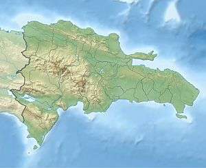 MDPO Location of airport in the Dominican Republic | |||||||||||
| Runways | |||||||||||
| |||||||||||
El Portillo National Airport (IATA: EPS, ICAO: MDPO) served the province of Samaná. It was located at the north of this province. This airport was used for private flights operators and some charter service into the Dominican Republic.
This airport ceased to be operational in February 2012.[1]
References
- ↑ ,
External links
This article is issued from
Wikipedia.
The text is licensed under Creative Commons - Attribution - Sharealike.
Additional terms may apply for the media files.