Patnitala Upazila
| Patnitala পত্নীতলা | |
|---|---|
| Upazila | |
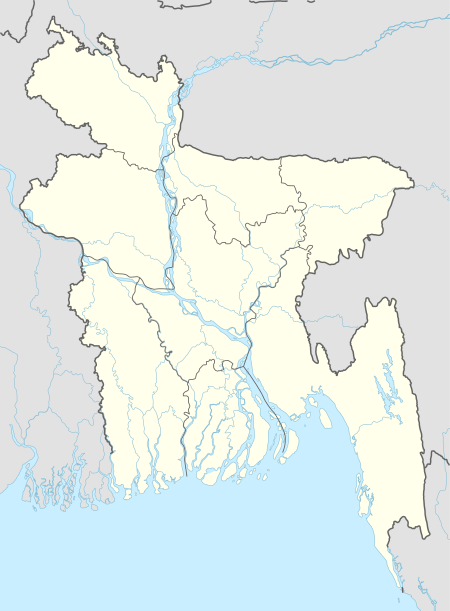
 Patnitala Location in Bangladesh | |
| Coordinates: 25°3′N 88°44′E / 25.050°N 88.733°ECoordinates: 25°3′N 88°44′E / 25.050°N 88.733°E | |
| Country | Bangladesh |
| Division | Rajshahi Division |
| District | Naogaon District |
| Area | |
| • Total | 382.39 km2 (147.64 sq mi) |
| Population (1991) | |
| • Total | 198,164 |
| • Density | 520/km2 (1,300/sq mi) |
| Time zone | UTC+6 (BST) |
| Postal code | 6540 |
| Website | Official Map of Patnitala |
Patnitala (Bengali: পত্নীতলা, means Wife's Place) is an Upazila of Naogaon District in the Division of Rajshahi, Bangladesh.
Geography
Patnitala is located at 25°03′00″N 88°44′00″E / 25.0500°N 88.7333°E. It has 35570 units of households and total area 382.39 km². The major rivers are the Atrai and the Shiba.[1]
Demographics
As of the 1991 Bangladesh census, Patnitala has a population of 1 98 164. Males constitutes 51.26% of the population and females 48.74%. This upazila's eighteen up population was 98279. Patnitala has an average literacy rate of 32.9% (7+ years), and the national average of 32.4% literate.[2]
Points of interest
Dibar Dighi is a large historic tank with a stone pillar, Kaivarta Stambha, in its middle. Both date from the late eleventh century.[3][4][5][6]
- Gahon pirbabar Mazar, Patnitala
- Kancon, Hazarat Zahor Uddin Cistia Babar Mazar, Patnitala
- Katabari Mazar, Patnitala
- Attrai River, Patnitala
- Nazipur Pouro Park, Nazipur
- More than Forest (shihara and nirmol)
Administration
Patnitala has 11 Unions/Wards, 297 Mauzas/Mahallas, and 292 villages.[1]
M P :Alhajj Shahidujjaman Sharker Bablu. Chairman of Patnitala Upozila: Abdul Hamid. Mayor of Nagipur Municipality: Rezaul Karaim Babu(Balu Babu)
Education
- Nazipur Government College
- Nazipur High school
- Nazipur Institute of Engineering Technology (NIET), Only One Polytechnic Institute.
- Shihara High School
- Amanta M.L High School
- Chalkmuli High School
- Krishnapur Digree College
- Kharamzai Fazil Madrasha
- Nakhucha High School
- Takipur High School & Takipur Primary School
- Kundon High School
- Chalkfarid Meher_ullah Dakhhil Madrasha
- Bankroil High School
- Dibor High School
- Shimuliya High School
- Gaganpur High School
- Gaganpur Wazedia Fazil Madrasha
- Ghoshnagor High School
- Ghoshnagor Zongipir Shaheb Alim Madrasha
- Amair High School
- Mallickpur High School
- Patnitala High School
- Paik Banda Junior High School
- Puia Adarsha high School
- Modhail High school
- Oxford Pre-Cadet School
- Khirshin S. K. High School
- Sontosh para Siddikia dakhil madrashah
- Modhail BL High School, modhail
- Modhail Govt Primary, modhail
- Al-Insaf Islami Academy, Modhail
- Al Helal Islami Academy
- Sarif academy, modhail
- mamun academy, modhail
- Modhail Alim Madrashah, modhail
- Mandain Abedia madrasha & high school
- Al Hera Islami Academy, Nazipur
- Moheshpur High School
- Nador Bangdom Govt Primary School [1915]
- Al haj Sofiuddin Academek
See also
References
- 1 2 Tuhin, Shamsul Arefin (2012). "Patnitala Upazila". In Islam, Sirajul; Jamal, Ahmed A. Banglapedia: National Encyclopedia of Bangladesh (Second ed.). Asiatic Society of Bangladesh.
- ↑ "Population Census Wing, BBS". Archived from the original on 2005-03-27. Retrieved November 10, 2006.
- ↑ Chakrabarti, Dilip K. (1992). Ancient Bangladesh, a study of the archaeologcial sources. Oxford University Press. p. 155.
- ↑ Indian Information Series. 4–5. India: Bureau of Public Information. 1939.
- ↑ Maitreẏa, Akshaẏakumāra (1987). The fall of the Pāla Empire. University of North Bengal. p. 44.
- ↑ Rahman, Kazi Mostafizur (2012). "Dibar Dighi and Kaivarta Stambha". In Islam, Sirajul; Jamal, Ahmed A. Banglapedia: National Encyclopedia of Bangladesh (Second ed.). Asiatic Society of Bangladesh.
