Nachol Upazila
| Nachole নাচোল | |
|---|---|
| Upazila | |
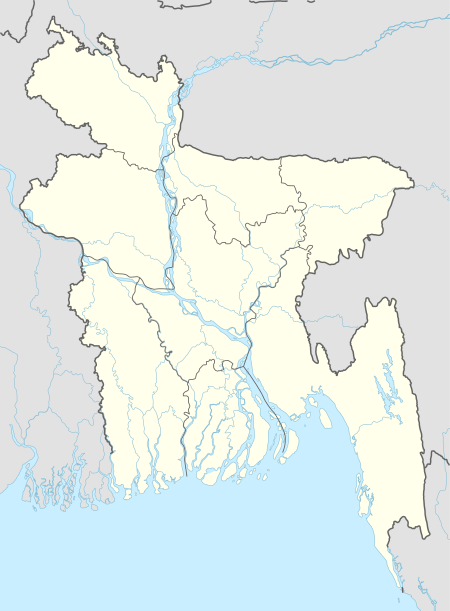
 Nachole Location in Bangladesh | |
| Coordinates: 24°43.8′N 88°25.2′E / 24.7300°N 88.4200°ECoordinates: 24°43.8′N 88°25.2′E / 24.7300°N 88.4200°E | |
| Country |
|
| Division | Rajshahi Division |
| District | Nawabganj District |
| Area | |
| • Total | 283.68 km2 (109.53 sq mi) |
| Population (2011) | |
| • Total | 146,627 [1] |
| Time zone | UTC+6 (BST) |
| Website | Official Website |
Nachole (Bengali: নাচোল) is an Upazila of Nawabganj District in the Division of Rajshahi, Bangladesh.[2]
Geography
Nachole is located at 24°43′45″N 88°25′10″E / 24.7292°N 88.4194°E. It has 32922 households and total area 283.68 km².[3]
Demographics
As of the 2011 Bangladesh census, Nachole has a population of 146,627. 72,895 of them are Males and 73,732 of them are female. Males constitute 49.71% of the population, and females 50.29%. This Upazila's eighteen up population is 89,267.[4]
Education
Nachole Upazila has an average literacy rate of 45.5% (7+ years).[5] It has 7 college (including 1 government college), 3 technical college, 34 secondary school(including 1 government school), 77 primary school and 18 madrasa. Some notable educational institutions are Nachole Government College (1972), Nachole Mohila College (1993), Nachole Pilot High School (1957), "Nachole Asian School And College" (2008). Nachole KM Government Girls High School, Munsi Hazrat Ali High School, Golabari High School'Patsala school and college' (2009) etc.[6]

last Publisher Alauddin ahmed botu / MD Sheikh Shakil.
Administration
Nachole has a municipality. The first elected mayor was Md Abdul Malek Chowdhury (2010 - 2015 ). At present is Md Abdur Rashid Khan Jhalu. 4 Unions, 201 Mauzas/Mahallas, and 190 villages.
Unions of Nachole:[7]
| Name of Union | Area (acre) | Male Population | Female Population |
|---|---|---|---|
| Kosba | 15183 | 16463 | 16686 |
| Fatehpur | 18279 | 16715 | 16465 |
| Nachole | 15184 | 17300 | 17637 |
| Nijampur | 18489 | 13836 | 14161 |
Nachole is famous for For Tevaga Movement Lead by Ila mitra .Seeing place are Ujirpur Dorgah, Rajbari, 500 years old Tetul Tree (Village Surola), Ali Sah pur Mosque its traditional place of the famous for 3 parks.Last edit by Alauddin Ahmed Botu.
See also
Archaeological heritage and relics Ali Shahpur Mosque (Fatehpur), Kalihar Zamindar Bari, Mallikpur Zamindar Bari.
Historical events In 1949, tebhaga movement spread over Nachole under the leadership of ila mitra. The peasants of Nachole, specially the Santals were the main force of this movement. This movement is variously known as nachole uprising, Tebhaga Movement or Nachole Peasant Movement.
Religious institutions Uzirpur dargah, Nachole Bazar Mandir, Deupara Math are notable.
Main sources of income Agriculture 73.27%, non-agricultural labourer 4.91%, industry 0.29%, commerce 9.38%, transport and communication 1.25%, service 3.54%, construction 0.67%, religious service 0.09%, rent and remittance 0.08% and others 6.52%.
Ownership of agricultural land Landowner 43.37%, landless 56.63%; agricultural landowner: urban 45.78% and rural 43.17%.
Main crops Paddy, wheat, pulse, vegetables.
Extinct or nearly extinct crops China, koda, maara (one kind of pulse).
Main fruits Mango, jackfruit, litchi, blackberry, palm, coconut, watermelon, plum.
Communication facilities Pucca road 131 km, semi-pucca road 4.40' km, mud road 369 km; railway 19 km; ( 3 Railway Stations are Nachole, Nezampur and Golabari ) waterway 3.23' nautical miles.
Extinct or nearly extinct traditional transport Palanquin, horse carriage.
Cottage industries Potteries, bamboo work, cane work.
Hats, bazars and fairs Hats and bazars are 12, fairs 6, most noted of which are Nachole Hat, Rajbari Hat, Sonaichandi Hat, Mollikpur Hat, Nizampur Hat, Verendi Hat Golabari Hat, Durga Puja Mela at Nachole Bazar and Baishakhi Mela( Upozilla porisho Ground).
Main exports Paddy.
Access to electricity All the unions of the upazila are under rural electrification net-work. However 18.16% of the dwelling households have access to electricity.
'Sources of drinking water Tube-well 94.32%, tap 2.41%, pond 0.45% and others 2.82%.
Sanitation 9.77% (rural 7.65% and urban 35.84%) of dwelling households of the upazila use sanitary latrines and 42.19% (rural 42.16% and urban 42.62%) of dwelling households use non-sanitary latrines; 48.04% of households do not have latrine facilities.
Health centres Upazila health complex 1, health and family planning centre 4, hospital 1, clinic 2, homeopathy dispensary 120. Edit by :Alauddin Ahmed Botu
References
- ↑ "Archived copy" (PDF). Archived from the original (PDF) on 2016-03-09. Retrieved 2017-01-09.
- ↑ Mazharul Islam Taru (2012), "Nachole Upazila", in Sirajul Islam and Ahmed A. Jamal, Banglapedia: National Encyclopedia of Bangladesh (Second ed.), Asiatic Society of Bangladesh
- ↑ "Archived copy" (PDF). Archived from the original (PDF) on 2016-03-09. Retrieved 2017-01-09.
- ↑ "Archived copy" (PDF). Archived from the original (PDF) on 2016-03-09. Retrieved 2017-01-09.
- ↑ "Archived copy" (PDF). Archived from the original (PDF) on 2016-03-09. Retrieved 2017-01-09.
- ↑ http://en.banglapedia.org/index.php?title=Nachole_Upazila
- ↑ "Archived copy" (PDF). Archived from the original (PDF) on 2016-03-09. Retrieved 2017-01-09.
External links
- Official website (in Bengali)
