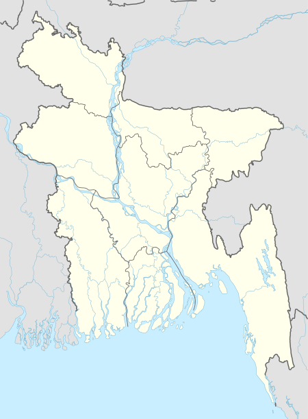
Lalpur Upazila
| Lalpur লালপুর | |
|---|---|
| Upazila | |
 Lalpur Location in Bangladesh | |
| Coordinates: 24°11′N 88°58.5′E / 24.183°N 88.9750°ECoordinates: 24°11′N 88°58.5′E / 24.183°N 88.9750°E | |
| Country |
|
| Division | Rajshahi Division |
| District | Natore District |
| Area | |
| • Total | 327.92 km2 (126.61 sq mi) |
| Population (1991) | |
| • Total | 216,973 |
| • Density | 660/km2 (1,700/sq mi) |
| Time zone | UTC+6 (BST) |
| Website | Official Map of Lalpur |
Lalpur (Bengali: লালপুর) is an Upazila of Natore District[1] in the Division of Rajshahi, Bangladesh.
Geography
Lalpur is located at 24°11′00″N 88°58′30″E / 24.1833°N 88.9750°E . It has 39,448 households and total area 327.92 km². 29 Km distance from Natore Sadar. It's Thana sadar situated bank of river of Padma.
Climate
It's located in an area which is both the hottest and the coldest in Bangladesh. If temperature comes down to a mild 3 or 3.5 °C at winter, it comes up to 43 °C at summer.
All the year round, temperature remains hottest simultaneously rainfalls are recorded lowest in this part of Bangladesh.
Economic
The economy is based on agriculture. Most people are farmers. They produce huge agriculture crops throughout the year. Paddy, wheat, jute and sugarcane, Potato, Pulse Fisheries, Dairies are the principal crops. North Bengal Sugar Mills in Gopalpur is one of the largest sugar mills in Bangladesh, produce huge amount of sugar to for sugarcane and plays an important role in the national economy.Farmers produce huge date juice in winter and made candy from its. Later it sold to other parts of Bangladesh. Farmers also produce crop for the demand of daily live hood. There are people who live near to Padma most of time they fishing in river and sold to local fish market and earn money for their living. There also produce varieties type of fruit Mango, Jack Fruit, Banana, Guava, Black Berry, Coconut after fulfill their own demand farmers supply rest of fruit whole over the country.There are many NGOs playing vital roll in national economic growth such as AVA (Well reputed local NGO), BRAC, Grameen Bank,SETU, DISHA, UDDIPAN,TMSS and son on.
Demographics
As of the 1991 Bangladesh census, Lalpur has a population of 216973. Males constitute 51.71% of the population, and females 48.29%. This Upazila's eighteen up population is 108782. Lalpur has an average literacy rate of 24.2% (7+ years), and the national average of 32.4% literate.[2]
Administration
Lalpur has 10 Unions/Wards, 211 Mauzas/Mahallas, and 228 villages.
See also
References
- ↑ Md. Moniruzzaman (2012), "Lalpur Upazila", in Sirajul Islam and Ahmed A. Jamal, Banglapedia: National Encyclopedia of Bangladesh (Second ed.), Asiatic Society of Bangladesh
- ↑ "Population Census Wing, BBS". Archived from the original on 2005-03-27. Retrieved November 10, 2006.
