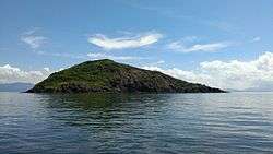
Pak Sha Chau (North)
| Native name: 白沙洲 | |
|---|---|
 Southwest-facing slope | |
 Pak Sha Chau | |
| Geography | |
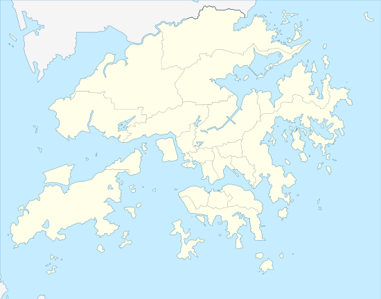
| Coordinates | 22°32′29″N 114°19′50″E / 22.541455°N 114.330443°ECoordinates: 22°32′29″N 114°19′50″E / 22.541455°N 114.330443°E |
| Administration | |
| Districts | North District |
Round Island or Pak Sha Chau (Chinese: 白沙洲; pinyin: Báishā Zhōu) is an island of Hong Kong. Administratively, it is part of the North District.
See also
| Wikimedia Commons has media related to Pak Sha Chau (North). |
This article is issued from
Wikipedia.
The text is licensed under Creative Commons - Attribution - Sharealike.
Additional terms may apply for the media files.