Ooststellingwerf
| Ooststellingwerf | |||
|---|---|---|---|
| Municipality | |||
 Lock in canal through Appelscha | |||
| |||
.svg.png) Location in Friesland | |||
| Coordinates: 53°0′N 6°18′E / 53.000°N 6.300°ECoordinates: 53°0′N 6°18′E / 53.000°N 6.300°E | |||
| Country |
| ||
| Province |
| ||
| Government[1] | |||
| • Body | Municipal council | ||
| • Mayor | Harry Oosterman (CDA) | ||
| Area[2] | |||
| • Total | 226.11 km2 (87.30 sq mi) | ||
| • Land | 224.16 km2 (86.55 sq mi) | ||
| • Water | 1.95 km2 (0.75 sq mi) | ||
| Elevation[3] | 7 m (23 ft) | ||
| Population (August 2017)[4] | |||
| • Total | 25,531 | ||
| • Density | 114/km2 (300/sq mi) | ||
| Time zone | UTC+1 (CET) | ||
| • Summer (DST) | UTC+2 (CEST) | ||
| Postcode | 8420–8435 | ||
| Area code | 0516 | ||
| Website |
www | ||

Ooststellingwerf [ˈoːststɛlɪŋˌʋɛr(ə)f] (![]()
Population centres
- Appelscha
- Donkerbroek
- Elsloo
- Fochteloo
- Haule
- Haulerwijk
- Langedijke
- Makkinga
- Nijeberkoop
- Oldeberkoop
- Oosterwolde
- Ravenswoud
- Waskemeer
Topography
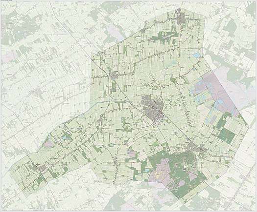
Dutch Topographic map of the municipality of Ooststellingwerf, June 2015
References
- ↑ "College" [Executive board] (in Dutch). Gemeente Ooststellingwerf. Archived from the original on 27 September 2013. Retrieved 22 September 2013.
- ↑ "Kerncijfers wijken en buurten" [Key figures for neighbourhoods]. CBS Statline (in Dutch). CBS. 2 July 2013. Retrieved 12 March 2014.
- ↑ "Postcodetool for 8431LE". Actueel Hoogtebestand Nederland (in Dutch). Het Waterschapshuis. Retrieved 22 September 2013.
- ↑ "Bevolkingsontwikkeling; regio per maand" [Population growth; regions per month]. CBS Statline (in Dutch). CBS. 27 October 2017. Retrieved 27 October 2017.
External links

- Official website
Places adjacent to Ooststellingwerf | ||||||||||
|---|---|---|---|---|---|---|---|---|---|---|
| ||||||||||
Municipalities of Friesland | ||
|---|---|---|
 | ||
| ||
This article is issued from
Wikipedia.
The text is licensed under Creative Commons - Attribution - Sharealike.
Additional terms may apply for the media files.