Midden-Drenthe
| Midden-Drenthe | |||
|---|---|---|---|
| Municipality | |||
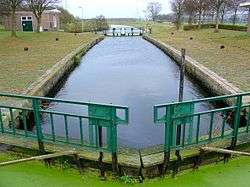 Canal through Midden-Drenthe | |||
| |||
.svg.png) Location in Drenthe | |||
| Coordinates: 52°52′N 6°31′E / 52.867°N 6.517°ECoordinates: 52°52′N 6°31′E / 52.867°N 6.517°E | |||
| Country | Netherlands | ||
| Province | Drenthe | ||
| Established | 1 January 1998[1] | ||
| Renamed | 1 January 2000[2] | ||
| Government[3] | |||
| • Body | Municipal council | ||
| • Mayor | Mieke Damsma (D66) | ||
| Area[4] | |||
| • Total | 345.87 km2 (133.54 sq mi) | ||
| • Land | 341.01 km2 (131.66 sq mi) | ||
| • Water | 4.86 km2 (1.88 sq mi) | ||
| Elevation[5] | 14 m (46 ft) | ||
| Population (August 2017)[6] | |||
| • Total | 33,216 | ||
| • Density | 97/km2 (250/sq mi) | ||
| Time zone | UTC+1 (CET) | ||
| • Summer (DST) | UTC+2 (CEST) | ||
| Postcode | 7938, 9410–9442 | ||
| Area code | 0528, 0592, 0593 | ||
| Website |
www | ||


Midden-Drenthe (![]()
Population centres
Balinge, Beilen, Bovensmilde, Brunsting, Bruntinge, Drijber, Elp, Eursinge, Garminge, Hijken, Hijkersmilde, Holthe, Hoogersmilde, Hooghalen, Laaghalen, Laaghalerveen, Lieving, Makkum, Mantinge, Nieuw-Balinge, Oranje, Orvelte, Smalbroek, Smilde, Spier, Terhorst, Westerbork, Wijster, Witteveen, Zuidveld and Zwiggelte.
The village of Westerbork gives its name to the Westerbork deportation and (later) concentration camp, located about 7 km north of the village, in the forests of Hooghalen.
The Westerbork Synthesis Radio Telescope (WSRT) array was installed near the site of the camp in 1969.
Topography
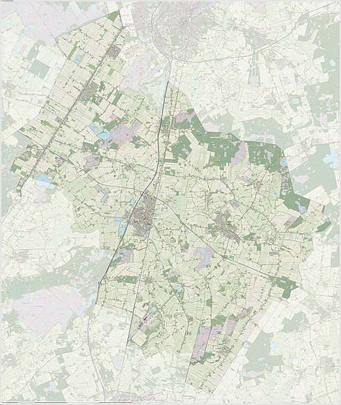
Dutch Topographic map of the municipality of Midden-Drenthe, June 2015
References
- ↑ "Gemeentelijke indeling op 1 januari 1998" [Municipal divisions on 1 January 1998]. cbs.nl (in Dutch). CBS. Retrieved 10 October 2013.
- ↑ "Gemeentelijke indeling op 1 januari 2000" [Municipal divisions on 1 January 2000]. cbs.nl (in Dutch). CBS. Retrieved 10 October 2013.
- ↑ "Leden college van burgemeester en wethouders" [Members of the board of mayor and aldermen] (in Dutch). Gemeente Midden-Drenthe. Archived from the original on 16 April 2011. Retrieved 10 October 2013.
- ↑ "Kerncijfers wijken en buurten" [Key figures for neighbourhoods]. CBS Statline (in Dutch). CBS. 2 July 2013. Retrieved 12 March 2014.
- ↑ "Postcodetool for 9411NB". Actueel Hoogtebestand Nederland (in Dutch). Het Waterschapshuis. Archived from the original on 21 September 2013. Retrieved 10 October 2013.
- ↑ "Bevolkingsontwikkeling; regio per maand" [Population growth; regions per month]. CBS Statline (in Dutch). CBS. 27 October 2017. Retrieved 27 October 2017.
External links
Places adjacent to Midden-Drenthe | ||||||||||
|---|---|---|---|---|---|---|---|---|---|---|
| ||||||||||
Municipalities of Drenthe | ||
|---|---|---|
 | ||
| ||