Mount Alice, Falkland Islands
| Mount Alice | |
|---|---|
 Mount Alice | |
| Highest point | |
| Elevation | 361 m (1,180 ft) |
| Prominence | 361 m (1,180 ft) |
| Coordinates | 52°09′14″S 60°35′54″W / 52.15389°S 60.59833°WCoordinates: 52°09′14″S 60°35′54″W / 52.15389°S 60.59833°W |
| Geography | |
| Location | Falkland Islands, South Atlantic Ocean |

Map of Weddell Island's vicinity featuring the air defence radar station Mount Alice
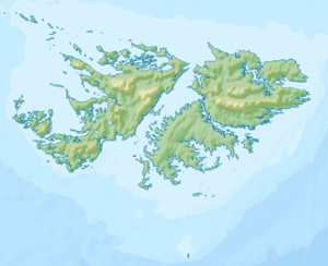
Mount Alice is a mountain rising to 361 m (1,180 ft)[1] at the south extremity of West Falkland, Falkland Islands in the South Atlantic. It is situated between the bays of Port Stephens and Port Albemarle, 12.3 km (7.6 mi) due north of Cape Meredith.
The mountain's top is occupied by RRH Mount Alice (Remote Radar Head Mount Alice) of the British Forces South Atlantic Islands (BFSAI),[2][3] part of an early warning and airspace control network including also RRH Byron Heights on West Falkland and RRH Mount Kent on East Falkland.
References
- ↑ Region: WF – West Falkland. Summits on the Air Website
- ↑ Post Conflict and RAF Stanley. Think Defence Website, 2017
- ↑ Sex, Drink, Scandal ? and Duty. Mercopress News Agency, 30 October 2002
External links
This article is issued from
Wikipedia.
The text is licensed under Creative Commons - Attribution - Sharealike.
Additional terms may apply for the media files.