Mihla
| Mihla | ||
|---|---|---|
| ||
 Mihla Location of Mihla within Wartburgkreis district 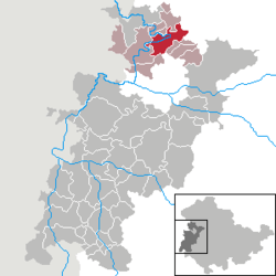 | ||
| Coordinates: 51°4′59″N 10°19′59″E / 51.08306°N 10.33306°ECoordinates: 51°4′59″N 10°19′59″E / 51.08306°N 10.33306°E | ||
| Country | Germany | |
| State | Thuringia | |
| District | Wartburgkreis | |
| Municipal assoc. | Mihla | |
| Government | ||
| • Mayor | Rainer Lämmerhirt | |
| Area | ||
| • Total | 31.58 km2 (12.19 sq mi) | |
| Elevation | 200 m (700 ft) | |
| Population (2017-12-31)[1] | ||
| • Total | 2,136 | |
| • Density | 68/km2 (180/sq mi) | |
| Time zone | CET/CEST (UTC+1/+2) | |
| Postal codes | 99826 | |
| Dialling codes | 036924 | |
| Vehicle registration | WAK | |
| Website | www.mihla.de | |

Mihla is a municipality in the Wartburgkreis district of Thuringia, Germany.
History
Within the German Empire (1871-1918), Mihla was part of the Grand Duchy of Saxe-Weimar-Eisenach.

References
This article is issued from
Wikipedia.
The text is licensed under Creative Commons - Attribution - Sharealike.
Additional terms may apply for the media files.