Bischofroda
| Bischofroda | ||
|---|---|---|
| ||
 Bischofroda Location of Bischofroda within Wartburgkreis district 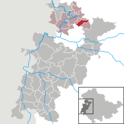 | ||
| Coordinates: 51°3′26″N 10°21′50″E / 51.05722°N 10.36389°ECoordinates: 51°3′26″N 10°21′50″E / 51.05722°N 10.36389°E | ||
| Country | Germany | |
| State | Thuringia | |
| District | Wartburgkreis | |
| Municipal assoc. | Mihla | |
| Area | ||
| • Total | 10.04 km2 (3.88 sq mi) | |
| Elevation | 225 m (738 ft) | |
| Population (2017-12-31)[1] | ||
| • Total | 645 | |
| • Density | 64/km2 (170/sq mi) | |
| Time zone | CET/CEST (UTC+1/+2) | |
| Postal codes | 99826 | |
| Dialling codes | 036924 | |
| Vehicle registration | WAK | |
| Website | www.vg-mihla.de | |

Bischofroda is a municipality in the Wartburgkreis district of Thuringia, Germany.

References
| Authority control |
|---|
This article is issued from
Wikipedia.
The text is licensed under Creative Commons - Attribution - Sharealike.
Additional terms may apply for the media files.