Merauke Regency
| Merauke Regency Kabupaten Merauke | ||
|---|---|---|
| Regency | ||
| ||
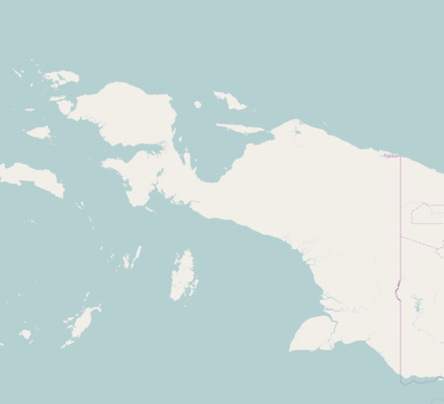 Merauke Regency Location in Western New Guinea and Indonesia  Merauke Regency Merauke Regency (Indonesia) | ||
| Coordinates: 7°40′00″S 139°40′00″E / 7.6667°S 139.6667°ECoordinates: 7°40′00″S 139°40′00″E / 7.6667°S 139.6667°E | ||
| Country |
| |
| Province |
| |
| Capital | Merauke | |
| Government | ||
| • Regent | Frederikus Gebze | |
| • Vice Regent | Sularso | |
| Area | ||
| • Total | 44,071 km2 (17,016 sq mi) | |
| Population (2014)[1] | ||
| • Total | 240,826 | |
| • Density | 5.5/km2 (14/sq mi) | |
| Time zone | UTC+9 (Indonesia Eastern Time) | |
| Area code | (+62) 971 | |
| Website | www.merauke.go.id/ | |

Merauke is a regency in Papua Province, Indonesia. It covers an area of 44,071 km2, and had a population of 195,716 at the 2010 Census; the latest official estimate (as at January 2014) is 240,826.
History
The regency formerly covered a much wider area of South Papua, but much of the area was split off on 12 November 2002 to form the new Regencies of Asmat, Mappi and Boven Digoel.
Administrative districts
Merauke Regency comprises twenty districts (kecamatan), listed below with their populations at the 2010 Census:[2]
|
|
|
Merauke District is scheduled to become an independent city (kota) separate from Merauke Regency, and will become the administrative capital of the proposed South Papua Province, when that is established.
Forests
Much of the area of Merauke Regency is covered by forests. MIFEE (Merauke Integrated Food and Energy Estate) is a project for use of a big area for industry and also palm oil and food crops agriculture including land grabbing.[3] MIFEE is supported by the national government.[3] There is much indigenous opposition to the MIFEE project.[3] The MIFEE project is expected to cover a 1.2 million hectare area, or a quarter of Merauke.[4] The project threatens conservation areas, such as virgin forests and water catchment areas, as well as the habitat of indigenous peoples in Papua.[5] There were substantial forest fires.[4] Freeport McMoran copper and gold mine has displaced thousands of Papuans and has destroyed vast stretches of pristine forest.[3]
See also
References
- ↑ Papua Province Archived 2010-05-22 at the Wayback Machine., retrieved 6 May 2010.
- ↑ Biro Pusat Statistik, Jakarta, 2011.
- 1 2 3 4 http://www.iss.nl/fileadmin/ASSETS/iss/Documents/Conference_papers/LDPI/1_Longgena_Ginting_and_Oliver_Pye_Final.pdf
- 1 2 The Jakarta Post. "Food estate project may turn Papua into forest fire hotbed - The Jakarta Post". thejakartapost.com. Retrieved 30 May 2016.
- ↑ The Jakarta Post. "Govt to revive food estate project in Papua - The Jakarta Post". thejakartapost.com. Retrieved 30 May 2016.