Merauke
| Merauke | |
|---|---|
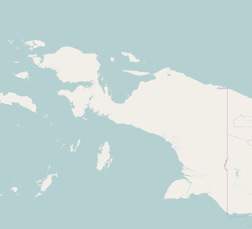 Merauke Location in Western New Guinea and Indonesia  Merauke Merauke (Indonesia) | |
| Coordinates: 8°28′S 140°20′E / 8.467°S 140.333°E | |
| Country |
|
| Province |
|
| Regency | Merauke Regency |
| Government | |
| • Mayor | Johanes Gluba Gebze (Unofficial) |
| • Vice Mayor | vacant |
| Population (2010 Census) | |
| • Total | 87,634 |
| Time zone | UTC+9 (Indonesia Eastern Time) |
| Area code | (+62) 975 |
| Climate | Aw |
| Website | merauke site government |
Merauke is a subdistrict and regency seat considered to be one of the easternmost cities in Indonesia, located in Merauke Regency, Papua province, Indonesia. The town was originally called Ermasoe.[1] It is next to Maro River where Port of Merauke is located. [2]
At the 2010 Census Merauke had a population of 87,634.[3]
History
Merauke was established in February 1902 as a military post by the Dutch, to prevent raids by the Marind-anim into neighbouring British New Guinea and the northwest Torres Strait Islands (Boigu, Dauan and Saibai).
The Cathedral of St. Francis Xavier in Merauke is the seat of the Roman Catholic Archdiocese of Merauke.
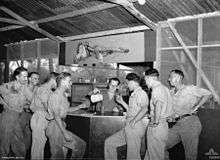
Merauke was the site of an Allied air base during World War II and there was ground fighting between Australian and Japanese patrols in the area.[4] It hosts the Musamus Merauke University, a state-run public university.
Merauke as the name
Merauke is used for the name of United States navy ship, USS Merauke (ID-2498).
See also
References
- ↑ A Dictionary of the Aneityumese Language: In Two Parts, I. Aneityumese and English, II. English and Aneityumese; Also, Outlines of Aneityumese Grammar, and an Introduction by John Inglis, Williams & Norgate, 1882
- ↑ Port of Merauke
- ↑ Bito Pusat Statistik, Jakarta, 2011.
- ↑ Klemen, L. "The last Dutch fortress in the East Indies - Merauke, Dutch New Guinea, 1942". The Netherlands East Indies 1941-1942.
| Wikimedia Commons has media related to Merauke. |
Coordinates: 8°28′S 140°20′E / 8.467°S 140.333°E