Yapen Islands Regency
| Yapen Islands Regency Kabupaten Kepulauan Yapen | ||
|---|---|---|
| Regency | ||
| ||
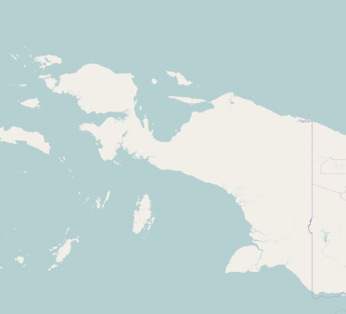 Yapen Islands Regency Location in Western New Guinea and Indonesia  Yapen Islands Regency Yapen Islands Regency (Indonesia) | ||
| Coordinates: 1°47′16″S 136°16′38″E / 1.7877°S 136.2772°ECoordinates: 1°47′16″S 136°16′38″E / 1.7877°S 136.2772°E | ||
| Country |
| |
| Province |
| |
| Capital | Serui | |
| Government | ||
| • Regent | Toni Tesar | |
| • Vice Regent | Frans Sanadi | |
| Area | ||
| • Total | 2,050 km2 (790 sq mi) | |
| Population (2014) | ||
| • Total | 102,070 | |
| • Density | 50/km2 (130/sq mi) | |
| Time zone | UTC+9 (Indonesia Eastern Time) | |
| Area code | (+62) 983 | |
| Website |
www | |

Yapen Islands Regency is a regency (kabupaten) in Papua Province of northeastern Indonesia. It is in Cenderawasih Bay of Western New Guinea.
Geography
The regency includes the islands and island groups of the Yapen Islands archipelago, including Yapen island. Its capital is Serui, on Serui Island.
It covers an area of 2,050 km2 (790 sq mi), and had a population of 82,951 at the 2010 Census;[1] the latest official estimate (as at January 2014) is 102,070.
Administrative Districts
The Yapen Islands regency comprises twelve districts (kecamatan), tabulated below with their populations at the 2010 Census:[2]
|
|
|
See also
- Yapen Islands topics
References
This article is issued from
Wikipedia.
The text is licensed under Creative Commons - Attribution - Sharealike.
Additional terms may apply for the media files.