Meloria north end Lighthouse
|
Meloria north end Lighthouse | |
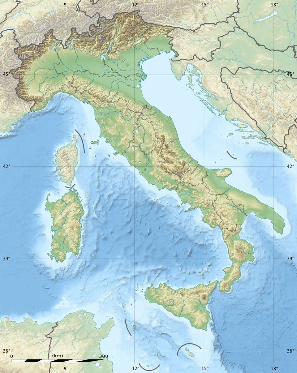
 Meloria north end Tuscany  Meloria north end Meloria north end (Italy) | |
| Location |
Livorno Tuscany Italy |
|---|---|
| Coordinates | 43°35′24″N 10°12′42″E / 43.590000°N 10.211667°ECoordinates: 43°35′24″N 10°12′42″E / 43.590000°N 10.211667°E |
| Year first constructed | 1958 (current) |
| Automated | yes |
| Construction | concrete and brick tower |
| Tower shape | cylindrical tower with lantern and gallery |
| Markings / pattern | white tower |
| Height | 20 metres (66 ft) |
| Focal height | 18 metres (59 ft) |
| Current lens | Type TD |
| Light source | solar power |
| Range | 10 nautical miles (19 km; 12 mi) |
| Characteristic | Fl (2) W 10s. |
| Fog signal | no |
| Admiralty number | E1347.8 |
| NGA number | 7872 |
| ARLHS number | ITA-258 |
| Italy number | 1884 E.F |
| Managing agent | Marina Militare[1][2] |
Meloria north end Lighthouse (Italian: Faro Nord delle Secche della Meloria) is an active lighthouse located in the Ligurian Sea, 7.5 nautical miles (13.9 km; 8.6 mi) north of Meloria south end Lighthouse and 7.5 nautical miles (13.9 km; 8.6 mi) north west of Livorno, in the northern part of the Meloria shoal.
Description
The lighthouse is a cylindrical tower built on the north extremity of Meloria shoal in 1958 in white concrete; it is 20 metres (66 ft) high with lantern and balcony. The lighthouse is powered by solar power unit and the lantern emits two white flash in a ten seconds period visible up to 10 nautical miles (19 km; 12 mi). The light is operated by the Marina Militare and it is identified by the code number 1884 E.F.[1]
See also
References
- 1 2 "Meloria nord". Marina Militare. Retrieved February 28, 2018.
- ↑ "Lighthouses of Italy: Toscana". The Lighthouse Directory. University of North Carolina at Chapel Hill. Retrieved February 28, 2018.
External links
- Lighthouse service of the Marina Militare (in Italian)
| Wikimedia Commons has media related to Meloria north lighthouse. |
This article is issued from
Wikipedia.
The text is licensed under Creative Commons - Attribution - Sharealike.
Additional terms may apply for the media files.