Manfredonia Lighthouse
.jpg) Manfredonia Lighthouse in 2016 | |
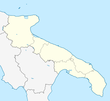 Manfredonia Location of Manfredonia Lighthouse in Apulia  Manfredonia Manfredonia (Italy) | |
| Location |
Manfredonia Apulia Italy |
|---|---|
| Coordinates | 41°37′43″N 15°55′24″E / 41.628726°N 15.923296°ECoordinates: 41°37′43″N 15°55′24″E / 41.628726°N 15.923296°E |
| Year first constructed | 1868 |
| Year first lit | 1947 (rebuilt) |
| Automated | yes |
| Construction | masonry tower |
| Tower shape | octagonal prism tower with balcony and lantern |
| Markings / pattern | white tower, grey metallic lantern dome |
| Height | 18 metres (59 ft) |
| Focal height | 20 metres (66 ft) |
| Current lens | Type LP3 |
| Light source | mains power |
| Range |
main: 23 nautical miles (43 km; 26 mi) reserve: 18 nautical miles (33 km; 21 mi) |
| Characteristic | Fl W 5s. |
| Admiralty number | E2276 |
| NGA number | 11012 |
| ARLHS number | ITA-099 |
| Italy number | 3796 E.F. |
| Managing agent | Marina Militare[1][2] |
Manfredonia Lighthouse (Italian: Faro di Manfredonia) is an active lighthouse located at the debut of the east pier of the harbour of Manfredonia, in Apulia on the Adriatic Sea.
Description
The lighthouse was built in 1868 and consists of a white octagonal prism tower, 18 metres (59 ft) high, with balcony and lantern, rising from a 2-storey white keeper's house. The lantern, painted in grey metallic, is positioned at 20 metres (66 ft) above sea level and emits one white flash in a 5 seconds period, visible up to a distance of 23 nautical miles (43 km; 26 mi). The lighthouse is completely automated and is managed by the Marina Militare with the identification code number 3796 E.F. [2]
See also
References
- ↑ "Lighthouses of Italy: Northern Puglia". The Lighthouse Directory. Retrieved March 6, 2018.
- 1 2 "Manfredonia Molo di Levante Lighthouse". Marina Militare. Retrieved March 6, 2018.
External links
| Wikimedia Commons has media related to Manfredonia Lighthouse. |
This article is issued from
Wikipedia.
The text is licensed under Creative Commons - Attribution - Sharealike.
Additional terms may apply for the media files.