Los Montones Field
| Los Montones Airport | |||||||||||
|---|---|---|---|---|---|---|---|---|---|---|---|
| Summary | |||||||||||
| Airport type | Public | ||||||||||
| Location | San Cristóbal, Dominican Republic | ||||||||||
| Elevation AMSL | 305 ft / 93 m | ||||||||||
| Coordinates | 18°31′15″N 70°05′55″W / 18.52083°N 70.09861°WCoordinates: 18°31′15″N 70°05′55″W / 18.52083°N 70.09861°W | ||||||||||
| Map | |||||||||||
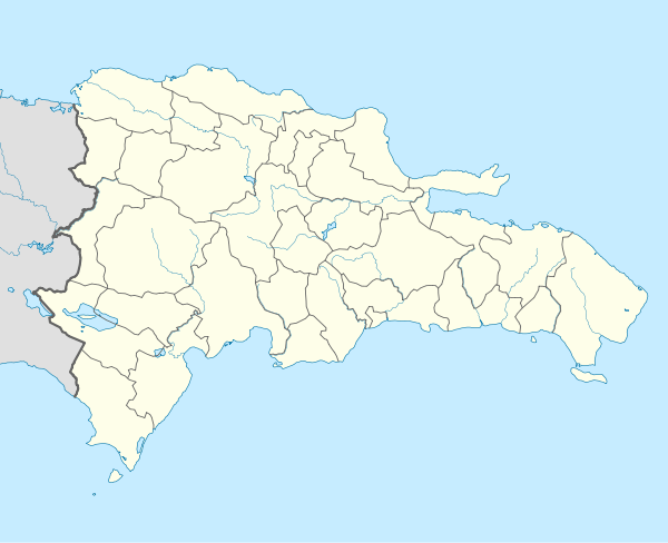 MDLM Location of the airport in Dominican Republic | |||||||||||
| Runways | |||||||||||
| |||||||||||
Los Montones Airport is an airstrip 11 kilometres (7 mi) north of San Cristóbal, Dominican Republic.
There is rising terrain southwest through west of the runway.
The Higuero VOR/DME (Ident: HGR) is located 7.2 nautical miles (13.3 km) east-northeast of the airport.[3]
See also

- Transport in Dominican Republic
- List of airports in Dominican Republic
References
- ↑ Airport information for Los Montones Airport at Great Circle Mapper.
- ↑ "Los Montones Airport". Google Maps. Google. Retrieved 24 May 2018.
- ↑ Higuero VOR
External links
- OpenStreetMap - Los Montones Airport
- OurAirports - Los Montones Airport
- SkyVector - Los Montones Airport
- Accident history for Los Montones Airport at Aviation Safety Network
This article is issued from
Wikipedia.
The text is licensed under Creative Commons - Attribution - Sharealike.
Additional terms may apply for the media files.