Lata Mountain
| Lata Mountain | |
|---|---|
 Lata Mountain | |
| Highest point | |
| Elevation | 963 m (3,159 ft) [1] |
| Prominence | 963 m (3,159 ft) |
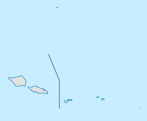
| Coordinates | 14°14′13″S 169°27′25″W / 14.23694°S 169.45694°WCoordinates: 14°14′13″S 169°27′25″W / 14.23694°S 169.45694°W |
| Geography | |
| Location | Tau, American Samoa |
Lata Mountain is the highest point of American Samoa, on the island of Ta'u, and is located in the Manu'a Islands.
References
- ↑ "Elevations and Distances in the United States". U.S Geological Survey. April 29, 2005. Archived from the original on June 1, 2008. Retrieved November 9, 2006.
See also
This article is issued from
Wikipedia.
The text is licensed under Creative Commons - Attribution - Sharealike.
Additional terms may apply for the media files.