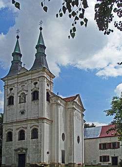
Krahulčí
| Krahulčí | |||
|---|---|---|---|
| Municipality | |||
 | |||
| |||
 Krahulčí | |||
| Coordinates: 49°10′49″N 15°24′55″E / 49.18028°N 15.41528°ECoordinates: 49°10′49″N 15°24′55″E / 49.18028°N 15.41528°E | |||
| Country |
| ||
| Region | Vysočina | ||
| District | Jihlava | ||
| Area | |||
| • Total | 3.63 km2 (1.40 sq mi) | ||
| Elevation | 531 m (1,742 ft) | ||
| Population (1.1.2014) | |||
| • Total | 630 | ||
| • Density | 170/km2 (450/sq mi) | ||
| Postal code | 588 56 | ||
| Website | http://www.krahulci.cz/ | ||


Krahulčí (Czech pronunciation: [ˈkraɦultʃiː]) is a village and municipality (obec) in Jihlava District in the Vysočina Region of the Czech Republic.
The municipality covers an area of 3.63 square kilometres (1.40 sq mi), and has a population of 614 (as at 28 August 2006).
Krahulčí lies approximately 28 kilometres (17 mi) south-west of Jihlava and 124 km (77 mi) south-east of Prague.
References
| Wikimedia Commons has media related to Krahulčí. |
This article is issued from
Wikipedia.
The text is licensed under Creative Commons - Attribution - Sharealike.
Additional terms may apply for the media files.