Opatov (Jihlava District)
| Opatov | |||
|---|---|---|---|
| Municipality | |||
 | |||
| |||
 Opatov | |||
| Coordinates: 49°26′18″N 15°23′9″E / 49.43833°N 15.38583°ECoordinates: 49°26′18″N 15°23′9″E / 49.43833°N 15.38583°E | |||
| Country |
| ||
| Region | Vysočina | ||
| District | Jihlava | ||
| Area | |||
| • Total | 6.75 km2 (2.61 sq mi) | ||
| Elevation | 650 m (2,130 ft) | ||
| Population (1.1.2014) | |||
| • Total | 187 | ||
| • Density | 28/km2 (72/sq mi) | ||
| Postal code | 588 05 | ||
| Website | http://www.opatov.info | ||


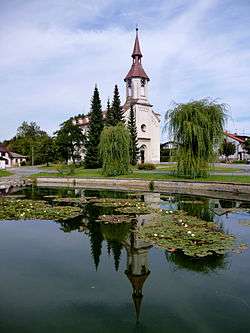
Opatov (Czech pronunciation: [ˈopatof]) is a village and municipality (obec) in Jihlava District in the Vysočina Region of the Czech Republic.
The municipality covers an area of 6.75 square kilometres (2.61 sq mi), and has a population of 205 (as at 3 July 2006).
Opatov lies approximately 16 kilometres (10 mi) west of Jihlava and 100 km (62 mi) south-east of Prague.
References
| Wikimedia Commons has media related to Nová Říše. |
This article is issued from
Wikipedia.
The text is licensed under Creative Commons - Attribution - Sharealike.
Additional terms may apply for the media files.