Killaly, Saskatchewan
| Killaly | |
|---|---|
| Village | |
| Village of Killaly | |
 Location of Killaly in Saskatchewan  Killaly, Saskatchewan (Canada) | |
| Coordinates: 50°45′11″N 102°49′48″W / 50.753°N 102.830°W | |
| Country |
|
| Province |
|
| Region | Southeast |
| Census division | 5 |
| Rural Municipality | McLeod No. 185 |
| Government | |
| • Type | Municipal |
| • Governing body | Killaly Village Council |
| • Mayor | Robert Blake |
| • Administrator | Debbie Assman |
| • MP | Robert Kitchen |
| • MLA | Dan D'Autremont |
| Area | |
| • Total | 2.59 km2 (1.00 sq mi) |
| Population (2006) | |
| • Total | 77 |
| • Density | 29.7/km2 (77/sq mi) |
| Time zone | UTC-6 (CST) |
| Postal code | S0A 1X0 |
| Area code(s) | 306 |
| Highways |
|
| Railways | (Pulled) |
Killaly is a village within the Rural Municipality of Grayson No. 184, in the province of Saskatchewan, Canada. Killaly had a population of 65 in the 2016 Canada Census, (a -12.2% decrease from 74 in the 2011 Canada Census). The village is located 23 km south of the City of Melville on Highway 47 at the intersection of Highway 22 & 47, and only 17 minutes North of Crooked Lake.
Demographics
| Canada census – Killaly, Saskatchewan community profile | |||
|---|---|---|---|
| 2016 | 2011 | 2006 | |
| Population: | 65 (-12.2% from 2011) | 74 (-3.9% from 2006) | 77 (-15.4% from 2001) |
| Land area: | 2.59 km2 (1.00 sq mi) | 2.59 km2 (1.00 sq mi) | 2.59 km2 (1.00 sq mi) |
| Population density: | 25.1/km2 (65/sq mi) | 28.6/km2 (74/sq mi) | 29.7/km2 (77/sq mi) |
| Median age: | 35.8 (M: 38.0, F: 32.2) | 41.5 (M: 39.5, F: 42.5) | 49.3 (M: 54.6, F: 43.5) |
| Total private dwellings: | 48 | 38 | 37 |
| Median household income: | $Not Available | ||
| References: 2016[1] 2011[2] 2006[3] earlier[4] | |||
See also
References
- ↑ "2016 Community Profiles". Canada 2016 Census. Statistics Canada. February 21, 2017. Retrieved 2017-03-15.
- ↑ "2011 Community Profiles". Canada 2011 Census. Statistics Canada. July 5, 2013. Retrieved 2012-10-14.
- ↑ "2006 Community Profiles". Canada 2006 Census. Statistics Canada. March 30, 2011. Retrieved 2009-02-24.
- ↑ "2001 Community Profiles". Canada 2001 Census. Statistics Canada. February 17, 2012.
External links
| Subdivisions | |
|---|---|
| Communities | |
| Cities | |
| Topics |
|
| |
| Cities | 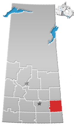 | ||
|---|---|---|---|
| Towns | |||
| Villages | |||
| Resort villages | |||
| Rural municipalities | |||
| First Nations | |||
| Indian reserves | |||
| Unincorporated communities |
| ||
Coordinates: 50°45′11″N 102°49′48″W / 50.753°N 102.830°W
This article is issued from
Wikipedia.
The text is licensed under Creative Commons - Attribution - Sharealike.
Additional terms may apply for the media files.