Khalghat
| Khalghat खलघाट | |
|---|---|
| town | |
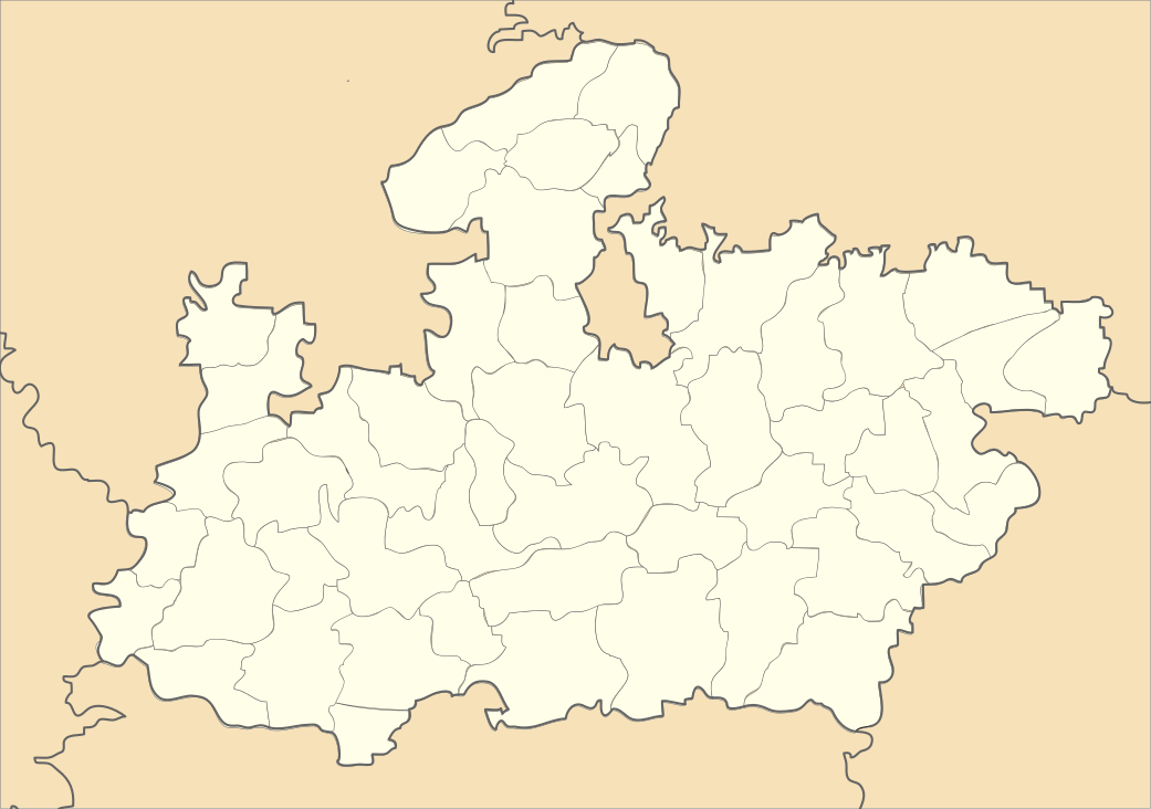
 Khalghat Location in Madhya Pradesh, India | |
| Coordinates: 22°09′26″N 75°26′46″E / 22.15734°N 75.446055°ECoordinates: 22°09′26″N 75°26′46″E / 22.15734°N 75.446055°E | |
| Country |
|
| State | Madhya Pradesh |
| District | Dhar |
| Elevation | 150 m (490 ft) |
| Languages | |
| • Official | Hindi |
| Time zone | UTC+5:30 (IST) |
| ISO 3166 code | IN-MP |
| Vehicle registration | MP |
Khalghat is a town and a gram panchayat in Dhar district in the state of Madhya Pradesh, India. Khalghat is situated in Nimad and Hindi and Nimadi are the primary languages spoken in the area.
Geography
Dhar is located at 21°06′N 75°16′E / 21.10°N 75.27°E.[1] It has an average elevation of 150 metres (495 feet).
It is located on the banks of Narmada River and National Highway 3 Agra-Indore-Dhule-Mumbai.
References
This article is issued from
Wikipedia.
The text is licensed under Creative Commons - Attribution - Sharealike.
Additional terms may apply for the media files.