Thandla
| Thandla थांदला | |
|---|---|
| Municipal Town | |
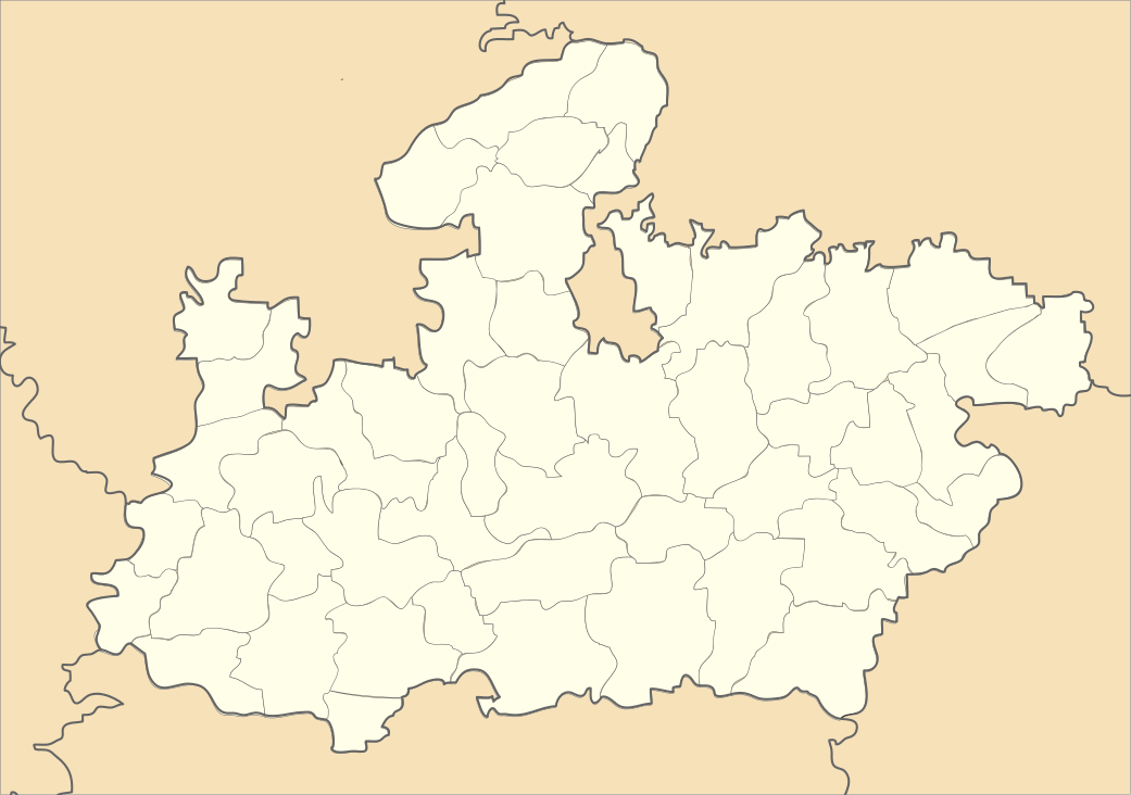
 Thandla Location in Madhya Pradesh, India  Thandla Thandla (India) | |
| Coordinates: 23°00′N 74°34′E / 23.0°N 74.57°ECoordinates: 23°00′N 74°34′E / 23.0°N 74.57°E | |
| Country |
|
| State | Madhya Pradesh |
| District | Jhabua |
| Government | |
| • Type | Municipal Council |
| • Body | Thandla Municipality |
| Elevation | 271 m (889 ft) |
| Population (2001) | |
| • Total | 25,000 |
| Languages | |
| • Official | Hindi |
| Time zone | UTC+5:30 (IST) |
| PIN | 457777 |
| ISO 3166 code | IN-MP |
| Vehicle registration | MP |
Thandla is a town in Thandla Tehsil in Jhabua District of Madhya Pradesh State, India. It belongs to Indore Division. It is located 30 KM north of the District headquarters of Jhabua. It is a Tehsil headquarter.
.
Geography
Thandla is located at 23°00′N 74°34′E / 23.0°N 74.57°E.[1] It has an average elevation of 271 metres (889 feet). Jhabua, Dahod, Rajgarh, Banswara are nearby cities.
Demographics
At the 2001 India census,[2] Thandla had a population of 12,685. Males constituted 52% of the population and females 48%. Thandla had an average literacy rate of 73%, higher than the national average of 59.5%: male literacy was 80%, and female literacy 66%. 14% of the population were under 6 years of age.
Educational Organizations
There are number of educational institutions in Thandla, such as Government College, Thandla, and a Government Boys and Government Girls schools.
References
- ↑ Falling Rain Genomics, Inc - Thandla
- ↑ "Census of India 2001: Data from the 2001 Census, including cities, villages and towns (Provisional)". Census Commission of India. Archived from the original on 16 June 2004. Retrieved 1 November 2008.