Hoove
| Hoove | |
|---|---|
 Looking across to Hoove from Mell Close | |
| Highest point | |
| Elevation | 554 m (1,818 ft) |
| Prominence | 179 m (587 ft) |
| Parent peak | Rogan's Seat |
| Listing | Marilyn |
| Coordinates | 54°27′34″N 1°59′39″W / 54.4594°N 1.9943°WCoordinates: 54°27′34″N 1°59′39″W / 54.4594°N 1.9943°W |
| Geography | |
 Hoove | |
| OS grid | NZ003071 |
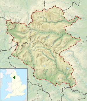
Hoove is a hill in the northern Yorkshire Dales in North Yorkshire, England, near the town of Barnard Castle in County Durham. Its elevation is 554 metres (1,818 ft), and it is classified as a Marilyn (a hill with topographic prominence of at least 150m).
Marilyns of Northern England | ||
|---|---|---|
| 1. Northumberland | 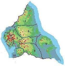 | |
| 2. Northern Lakeland | ||
| 3. Western Lakeland | ||
| 4. Central and Southern Lakeland | ||
| 5. Eastern Lakeland | ||
| 6. North Pennines and Durham | ||
| 7. Northern Yorkshire Dales | ||
| 8. Southern Yorkshire Dales | ||
| 9. North York Moors to the Humber | ||
| 10. Forest of Bowland | ||
This article is issued from
Wikipedia.
The text is licensed under Creative Commons - Attribution - Sharealike.
Additional terms may apply for the media files.