Hamrin Mountains
| Hamrin Mountains | |
|---|---|
 Hamrin Mountains | |
| Highest point | |
| Elevation | 500 m (1,600 ft) |
| Coordinates | 35°01′57″N 43°38′47″E / 35.0325°N 43.6463889°ECoordinates: 35°01′57″N 43°38′47″E / 35.0325°N 43.6463889°E |
| Geography | |
| Location | Iraq |
| Parent range | Zagros Mountains |
| Geology | |
| Mountain type | Anticlinal fold |
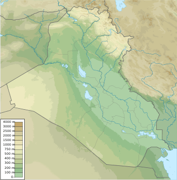
The Hamrin Mountains (Arabic: جبل حمرين Jabāl Hamrīn, Kurdish:چیای حەمرین Çiyayê Hemrîn or Çiyayên Hemrîn) are a small mountain ridge in northeast Iraq. The westernmost ripple of the greater Zagros mountains,[1] the Hamrin mountains extend from the Diyala Province bordering Iran, northwest to the Tigris river, crossing northern Salah ad Din Province and southern Kirkuk Province.
In antiquity, the mountains were part of the frontier region between Babylonia to the south and Assyria to the north. Today, the area forms part of the linguistic boundary between most of Arab people of Iraq and Kurdish people of Iraq in the north.
References
External links
| History |
|  | ||||||
|---|---|---|---|---|---|---|---|---|
| Geography | ||||||||
| Politics | ||||||||
| Economy | ||||||||
| Society |
| |||||||
This article is issued from
Wikipedia.
The text is licensed under Creative Commons - Attribution - Sharealike.
Additional terms may apply for the media files.