Antrobus, Cheshire
| Antrobus | |
|---|---|
 The centre of Antrobus village | |
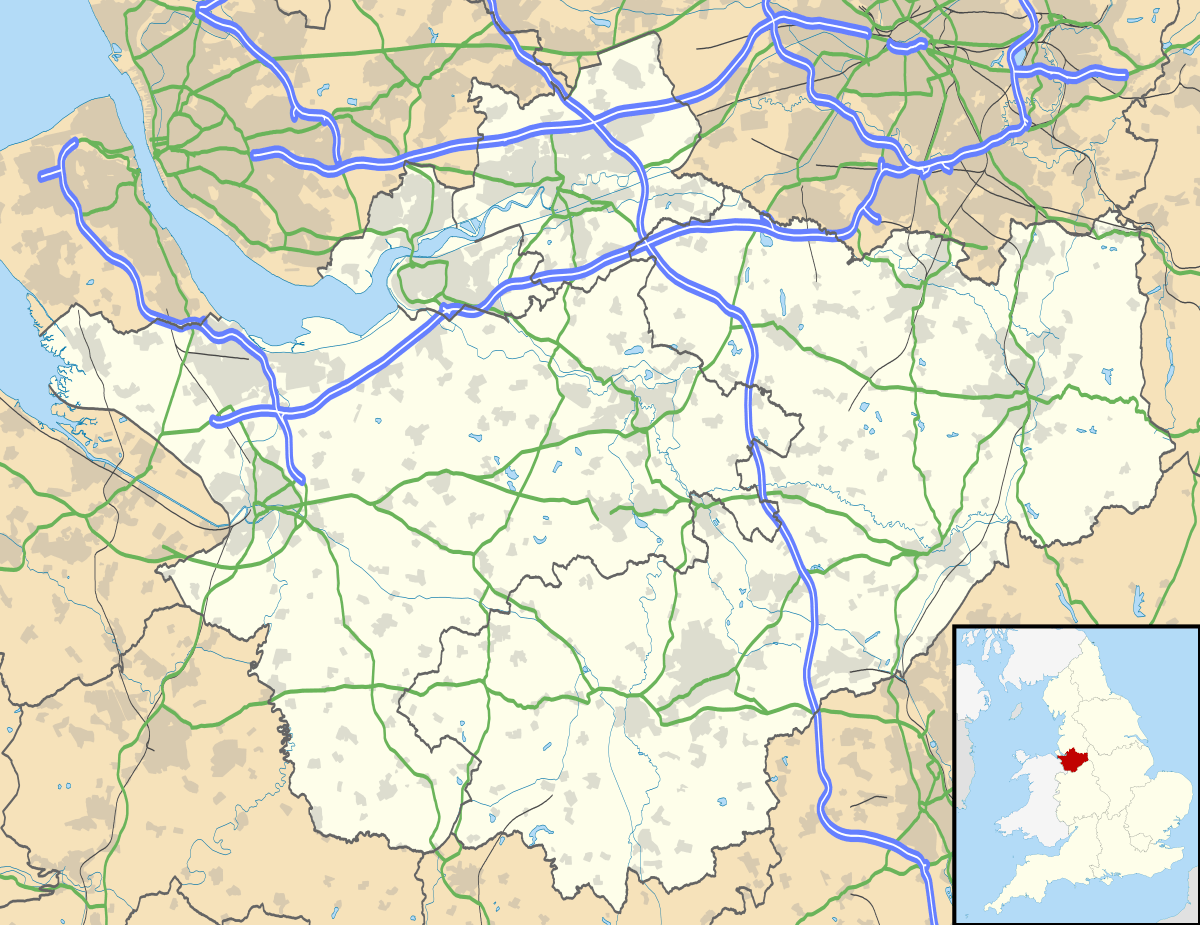 Antrobus Antrobus shown within Cheshire | |
| OS grid reference | SJ643796 |
| Civil parish |
|
| Unitary authority | |
| Ceremonial county | |
| Region | |
| Country | England |
| Sovereign state | United Kingdom |
| Post town | NORTHWICH |
| Postcode district | CW9 |
| Dialling code | 01606 |
| Police | Cheshire |
| Fire | Cheshire |
| Ambulance | North West |
| EU Parliament | North West England |
| UK Parliament | |
Antrobus is a civil parish and village in Cheshire, England, immediately to the south of Warrington. It is situated within the unitary authority of Cheshire West and Chester, and has a population of 832,[1] reducing to 791 at the 2011 Census.[2] The parish includes Frandley about one mile south west from the main village.
The village was struck by an F1/T3 tornado on 23 November 1981, as part of the record-breaking nationwide tornado outbreak on that day.[3] The village shop[4] and post office is owned and run cooperatively by the villagers for the benefit of the community having previously closed in 2003.
Etymology
The placename is recorded in the Domesday Book of 1086 as "Entrebus", and in the Pipe Rolls of Cheshire of 1282 as "Anterbus". The derivation of the name is from the Old Norse personal name "Eindrithi" or "Andrithi", with the Old Norse "buski", shrub, bush or thicket, the whole name thus signifying "Andrithi's thicket".
See also
References
- ↑ Office for National Statistics : Census 2001 : Parish Headcounts : Vale Royal Retrieved 2009-10-10
- ↑ "Parish population 2011". Retrieved 29 May 2015.
- ↑ http://www.eswd.eu/cgi-bin/eswd.cgi
- ↑ News Items about Antrobus Village Shop. BBC News Website. Retrieval Date: 11 December 2007.
External links
| Wikimedia Commons has media related to Antrobus. |
- Antrobus at GENUKI
- Antrobus in the Domesday Book
Cheshire Portal | |
| Unitary authorities | |
| Major settlements | |
| Rivers | |
| Topics | |