Fougerolles, Haute-Saône
| Fougerolles | |
|---|---|
| Commune | |
    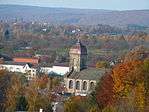 | |
 Fougerolles Location within Bourgogne-Franche-Comté region  Fougerolles | |
| Coordinates: 47°53′10″N 6°24′12″E / 47.8861°N 6.4033°ECoordinates: 47°53′10″N 6°24′12″E / 47.8861°N 6.4033°E | |
| Country | France |
| Region | Bourgogne-Franche-Comté |
| Department | Haute-Saône |
| Arrondissement | Lure |
| Canton | Saint-Loup-sur-Semouse |
| Area1 | 51.12 km2 (19.74 sq mi) |
| Population (2006)2 | 4,062 |
| • Density | 79/km2 (210/sq mi) |
| Time zone | UTC+1 (CET) |
| • Summer (DST) | UTC+2 (CEST) |
| INSEE/Postal code | 70245 /70220 |
| Elevation | 276–569 m (906–1,867 ft) |
|
1 French Land Register data, which excludes lakes, ponds, glaciers > 1 km2 (0.386 sq mi or 247 acres) and river estuaries. 2 Population without double counting: residents of multiple communes (e.g., students and military personnel) only counted once. | |
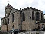
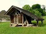
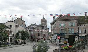
Fougerolles is a commune in the Haute-Saône department in the region of Bourgogne-Franche-Comté in eastern France. It is known for its kirsch and griottines.
Geography
Fougerolles is a fairly large town of 5112 hectares, making it the largest municipality of Haute-Saône after Champlitte. It borders the Lorraine region.
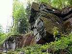
The city is bisected by the Combeauté River, which descends from the neighbouring commune of Le Val-d'Ajol.
See also
References
- INSEE (in English)
| Wikimedia Commons has media related to Fougerolles (Haute-Saône). |
This article is issued from
Wikipedia.
The text is licensed under Creative Commons - Attribution - Sharealike.
Additional terms may apply for the media files.